Destination
↗
2.7K
views · 30 days
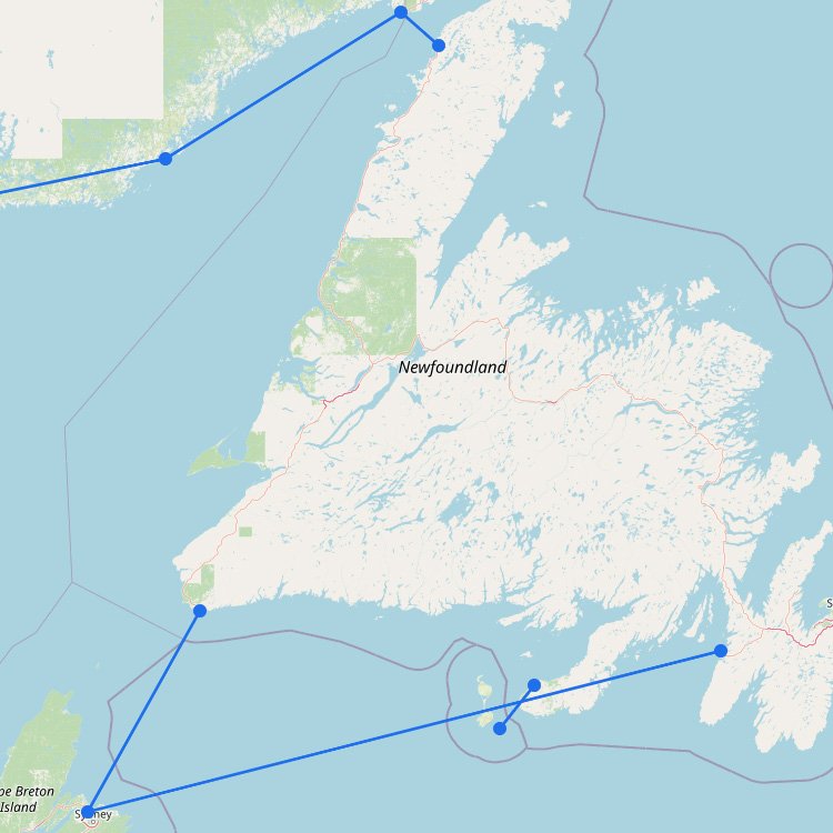
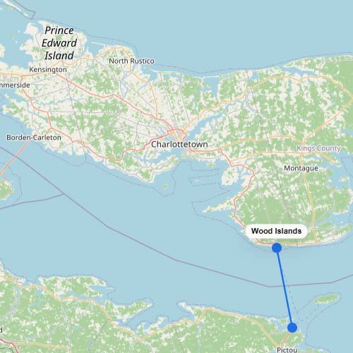
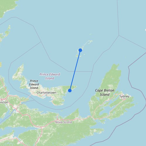
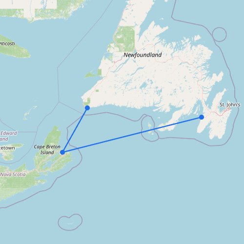
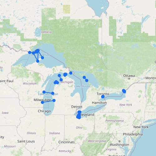
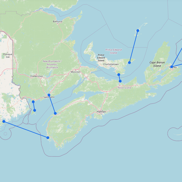
Ferry Map & Routes to Nova Scotia
To reach this province in Atlantic Canada, you typically arrive via high-speed ferry from Maine or year-round service…
5
routes
9
connections
4
operators
Explore ferries to this destination