Ferries to Qatar
Crossing the Persian Gulf into the Old Doha Port takes just over two hours on specialized high-speed maritimeโฆ
+31
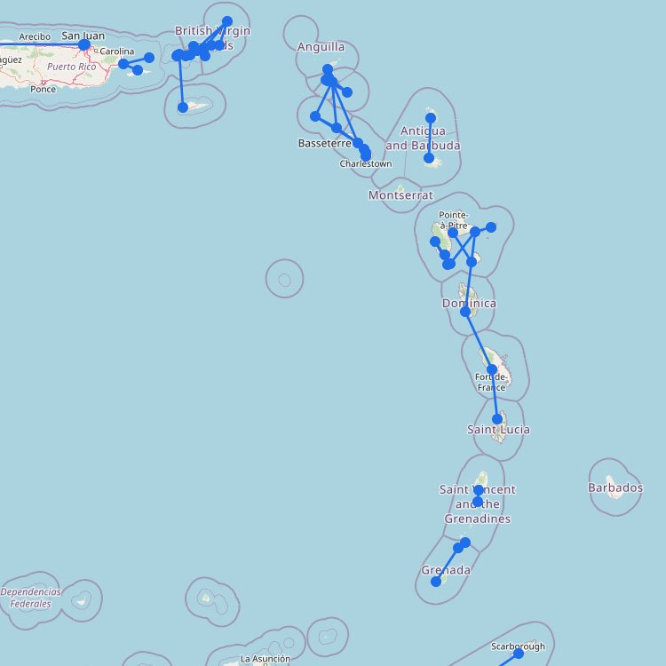
The Caribbean is one of the most visited regions in the world, and millions of travelers visit itsโฆ
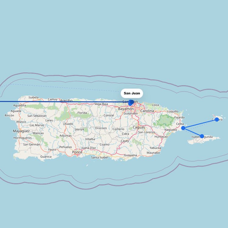
For most travelers, the Puerto Rico ferry system is the main way to reach Vieques and Culebra. Departuresโฆ
+14
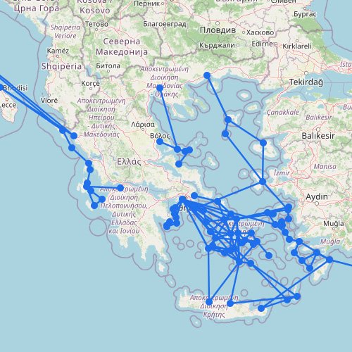
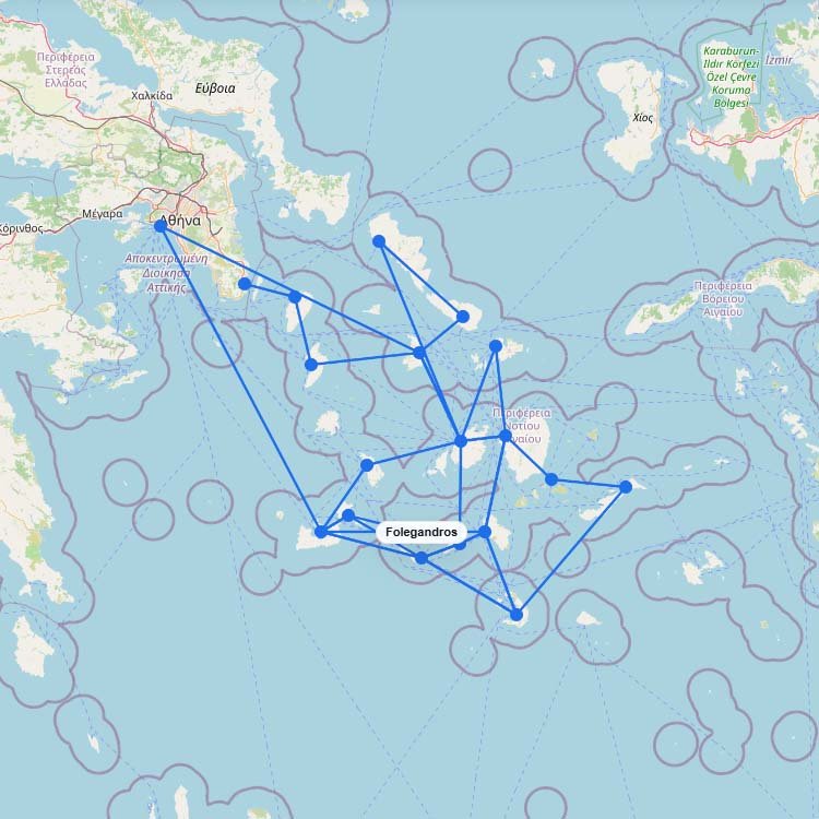
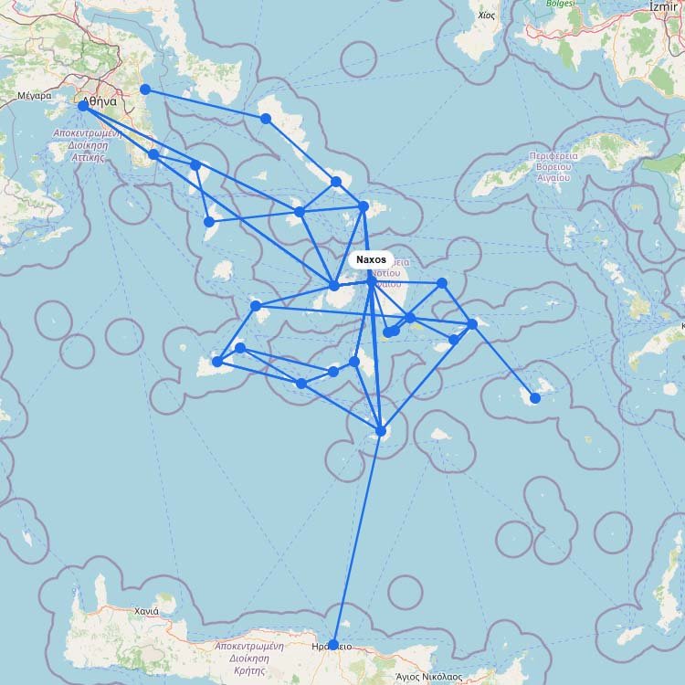
The ferry map above makes the Greek Islands look like one huge connected network. In practice, it isโฆ
Accessing this famous volcanic island in the French West Indies is most commonly done via high-speed catamaran fromโฆ
+2
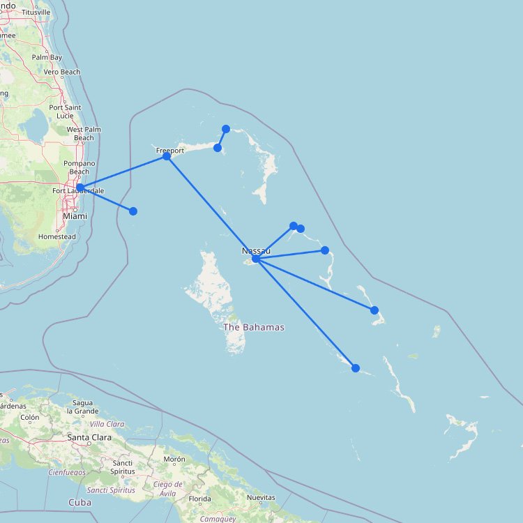
Although the Bahamas have many islands, there is no large ferry network. Regular ferries run from the Unitedโฆ
+1
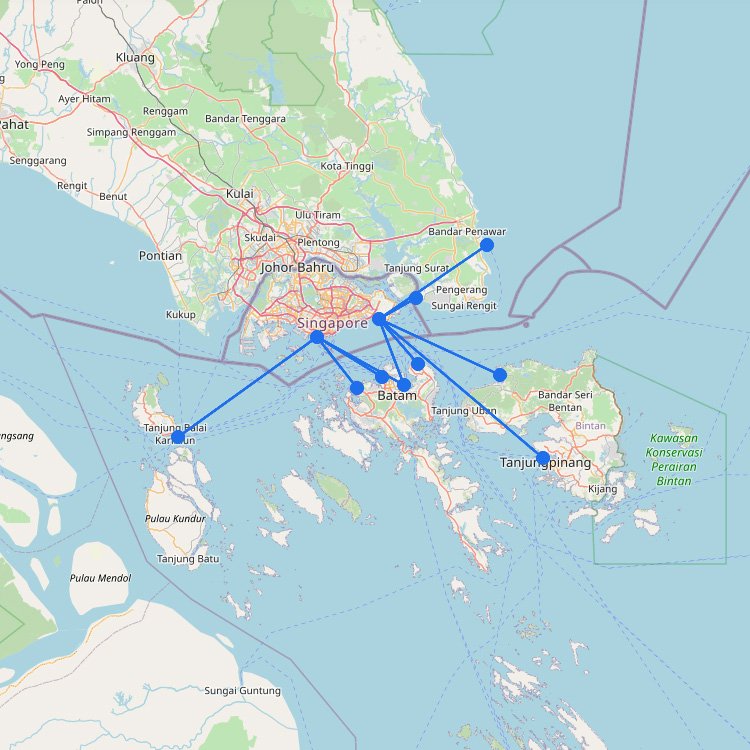
When you look at ferry routes around Singapore, most of them are less about getting around the cityโฆ
+35
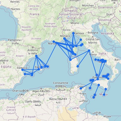
The Mediterranean isnโt one single ferry network, but a set of separate ferry regions. It includes island groups,โฆ
+17
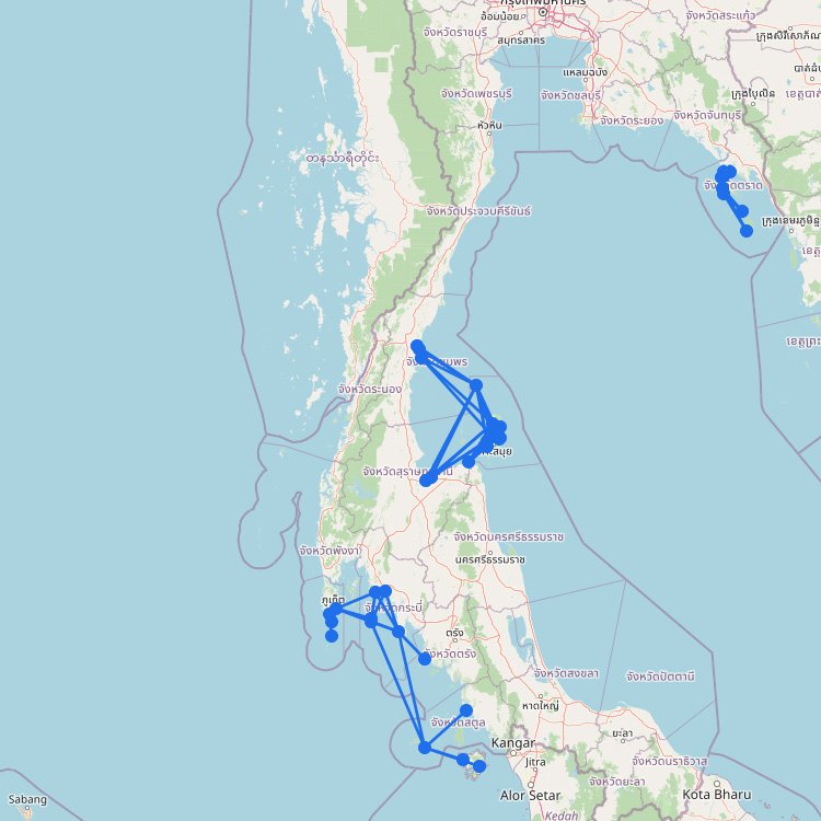
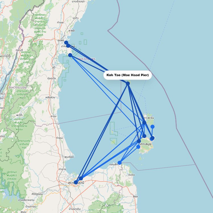
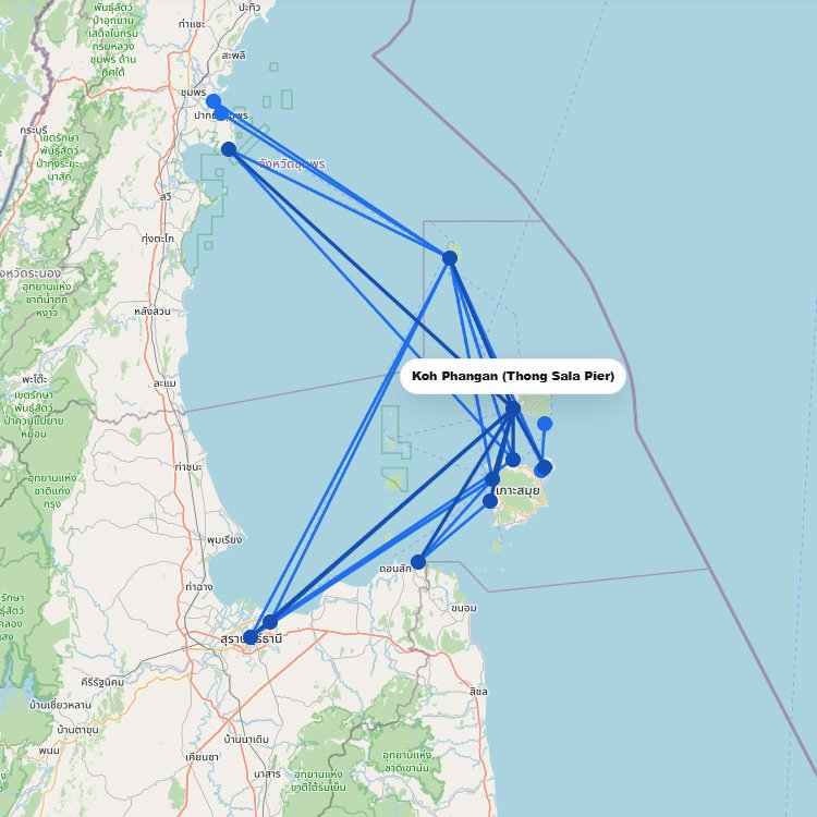
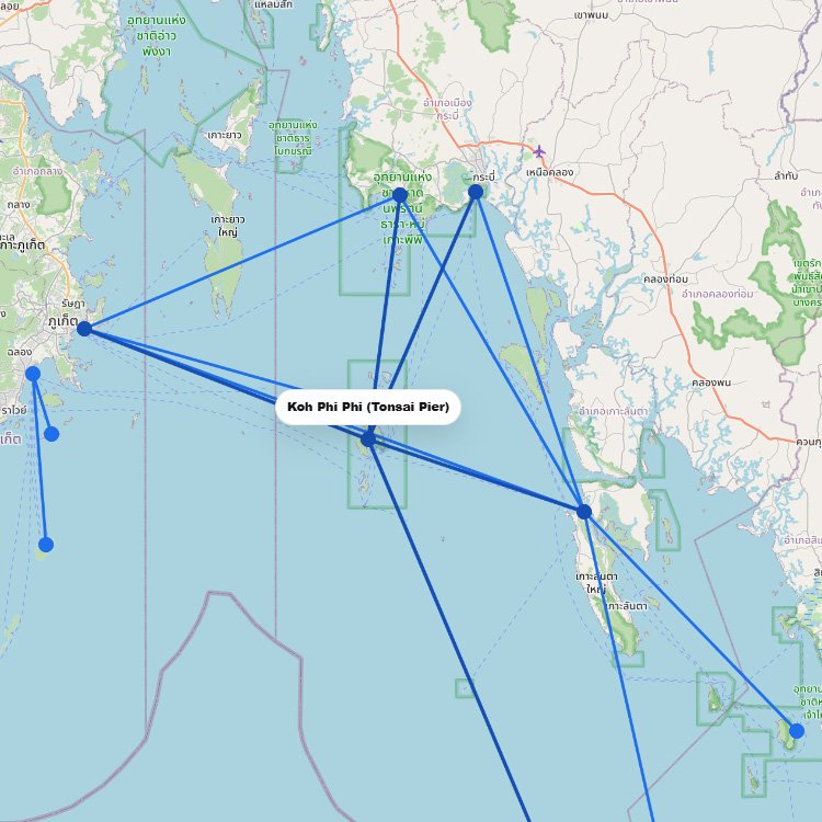
Thailandโs ferry map quickly shows why the country is such a strong island-hopping destination. The network is splitโฆ
Ferries to Malaysia mainly connect the country with nearby destinations in Thailand, Indonesia and Singapore. The map aboveโฆ
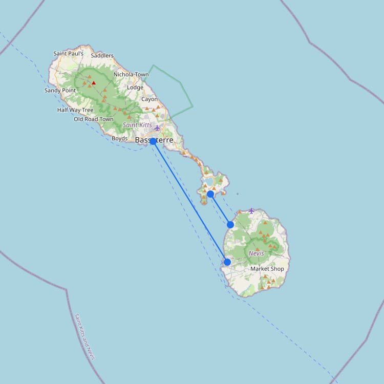
To reach this quieter half of the federation in the Caribbean, most travelers use the Seashell or Nevisโฆ
+12
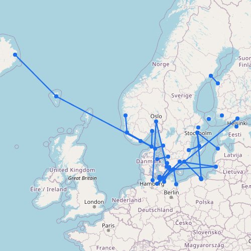
The interactive ferry map on this page primarily covers ferry routes across Scandinavia and the Baltic States, butโฆ
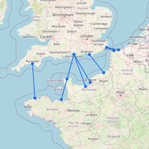
The English Channel is one of Europeโs most practical ferry regions: short crossings, busy ports and routes builtโฆ
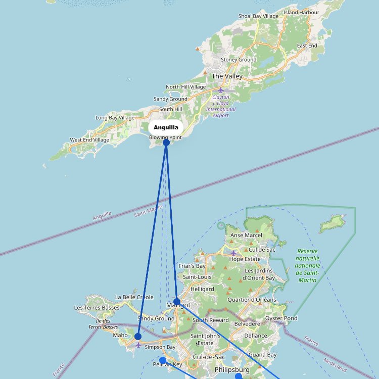
To reach this destination in the Lesser Antilles, most travelers take the 20-minute public ferry from Marigot orโฆ

+25
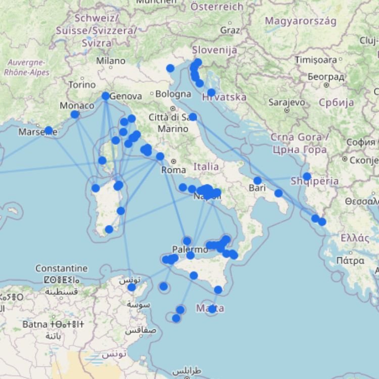
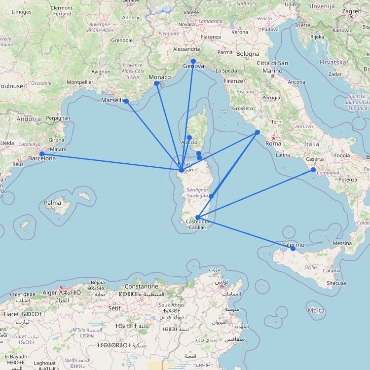
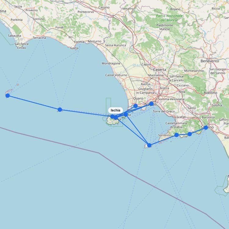
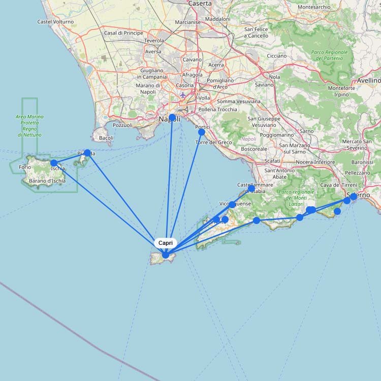
Italy has one of Europeโs largest and most extensive ferry networks, with connections to Sardinia, Sicily, Corsica, Croatia,โฆ
+3
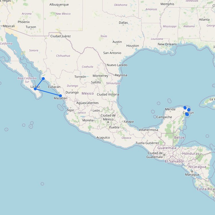
The ferry system in Mexico is mainly split into two regions: the Caribbean routes off the Yucatรกn Peninsulaโฆ
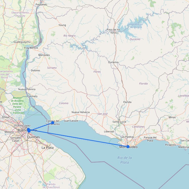
To reach the ports of Uruguay from this South American hub, you must cross the Rรญo de laโฆ
+8
The map above shows that the Adriatic ferry network doesnโt really operate as one single system. Itโs betterโฆ
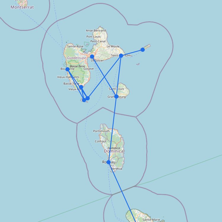
Guadeloupe has a well-developed ferry network with reliable operators and clear websites where you can book tickets. Fromโฆ
+27
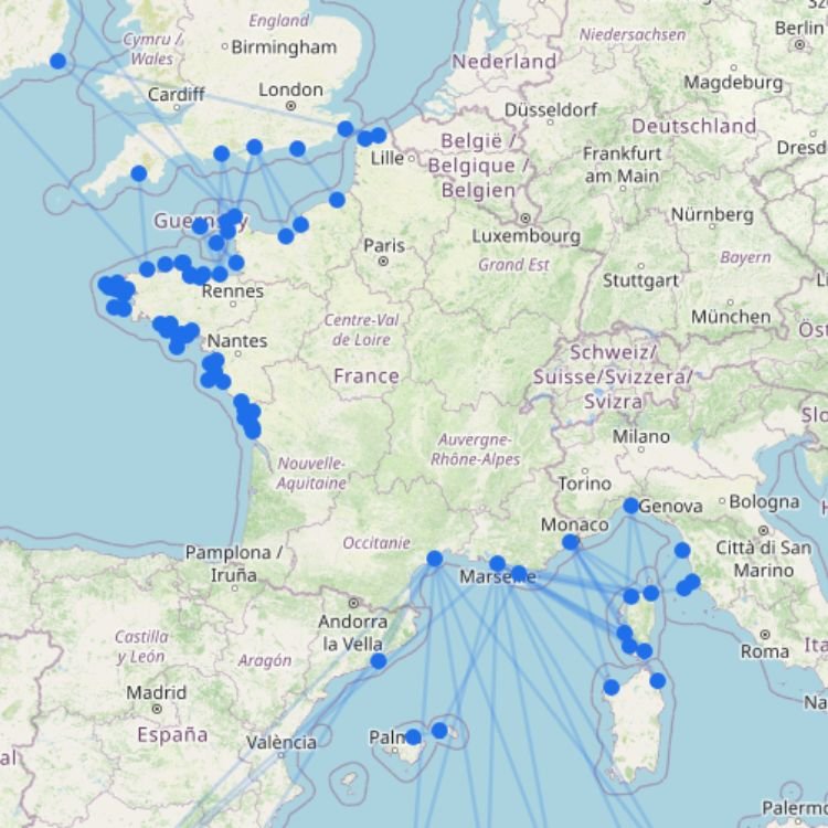
France has one of Europeโs largest and most diverse ferry networks, with connections to the United Kingdom, Ireland,โฆ
SC
Sea Crest Ferry
+1
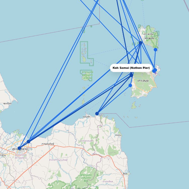
Reaching this world-class diving destination in the Gulf of Thailand requires a high-speed crossing via Lomprayah or Songserm,โฆ
+12
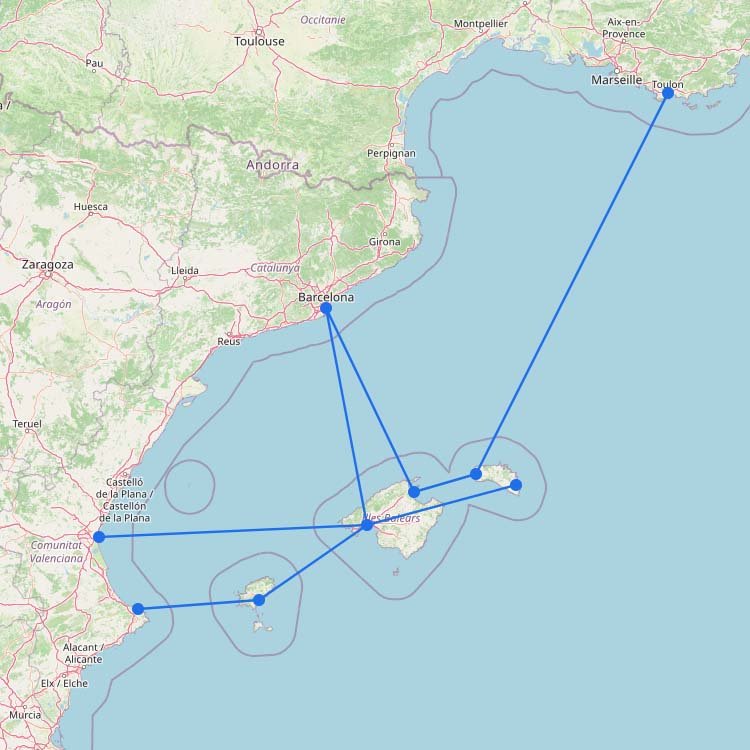
Spain has one of Europeโs most varied ferry networks, with connections to the Balearic Islands, Canary Islands, Morocco,โฆ
+2
Reaching this major hub in Thailand involves using the Raja Ferry for vehicle transport or the Lomprayah high-speedโฆ
Ferry routes to Lefkada operate from the southern ports of Nydri and Vasiliki, as a road bridge alreadyโฆ
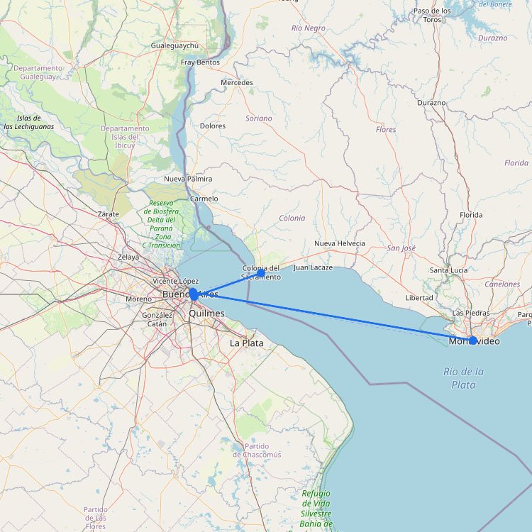
To reach the ports of Colonia or Montevideo from Buenos Aires, you must cross the Rรญo de laโฆ
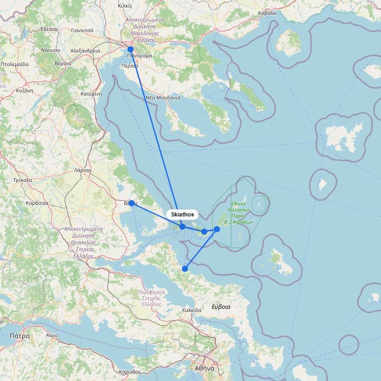
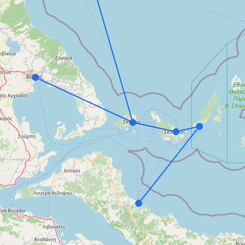
On the map above โ๏ธ, the Sporades show up as a compact island group with a limited numberโฆ
+1
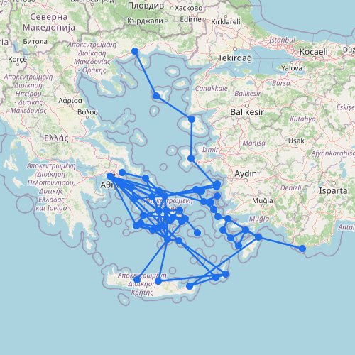
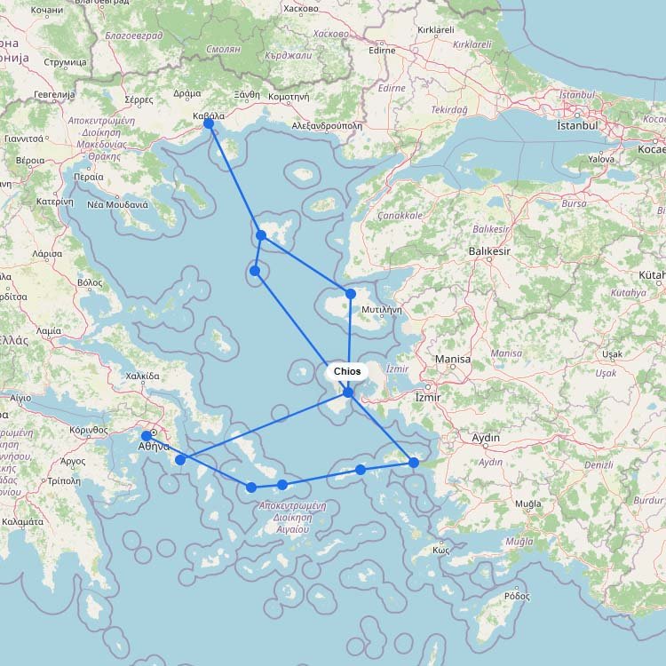
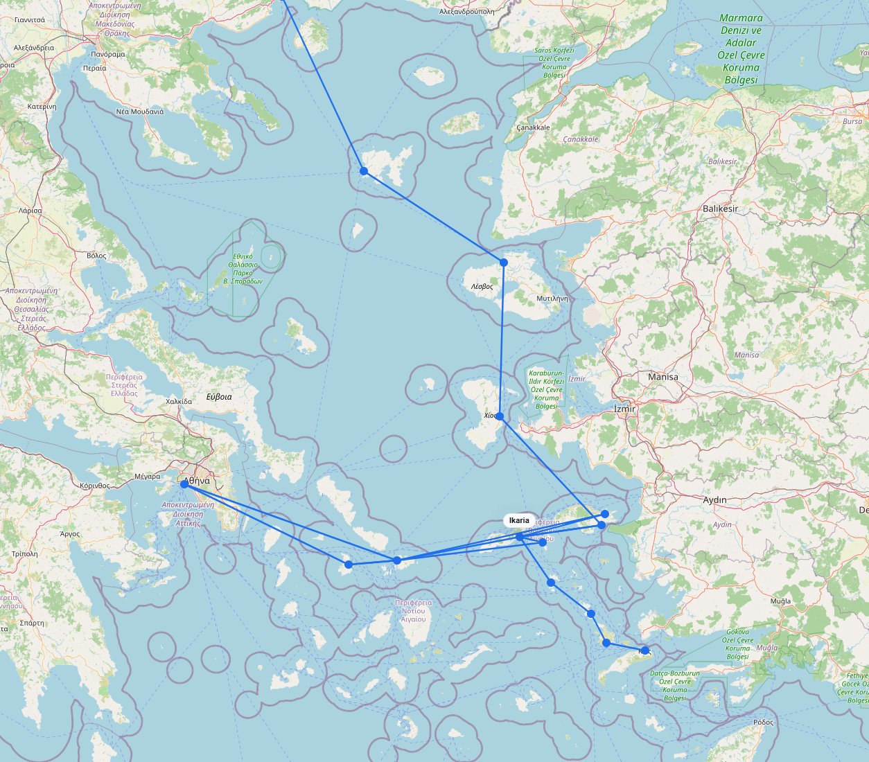
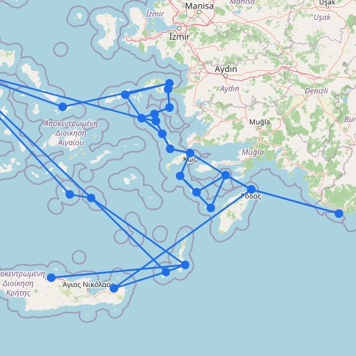
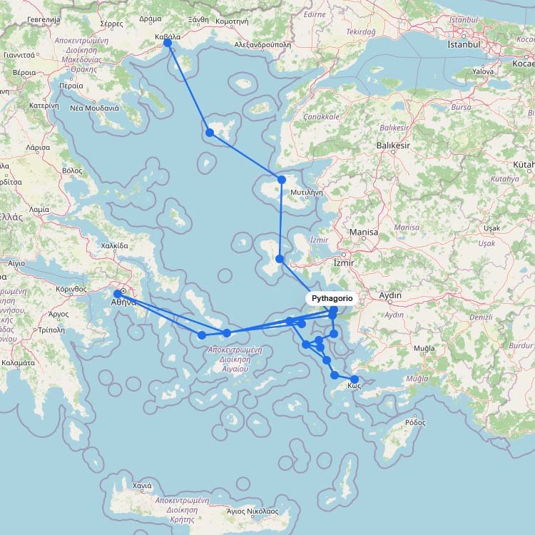
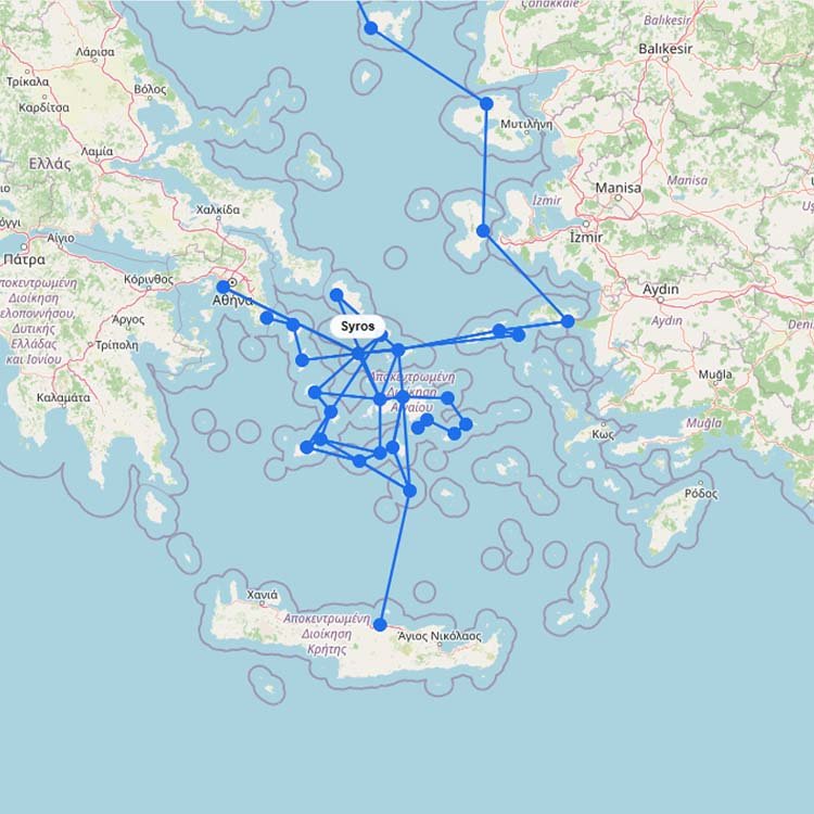
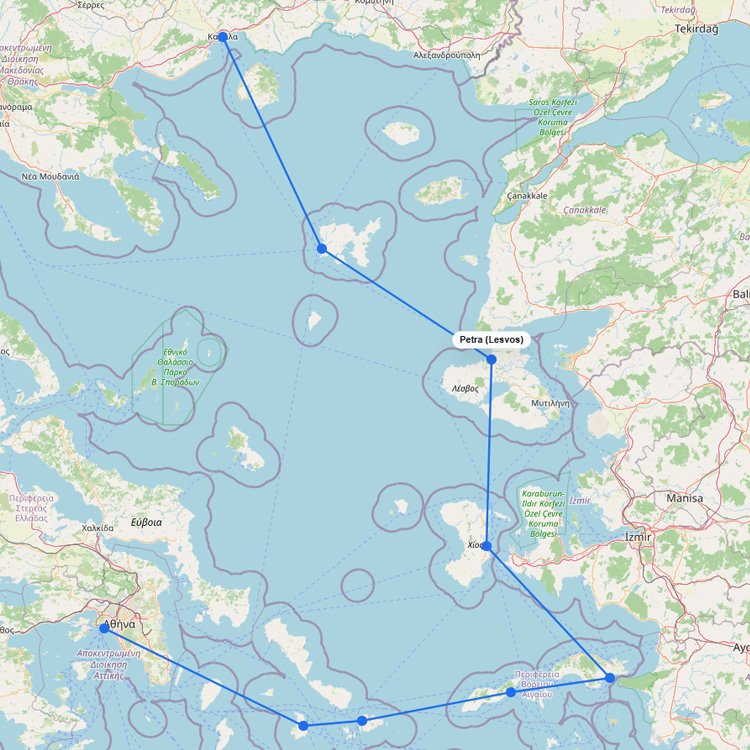
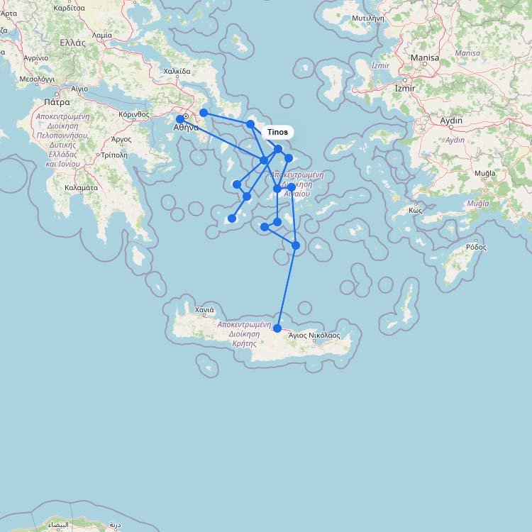
The Aegean Islands cover a large ferry area, with several separate island groups and long sea crossings. Thisโฆ
+1
Managing over three million annual passengers, the northern docks of Olbia and Porto Torres are your primary maritimeโฆ
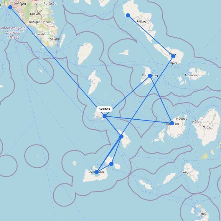
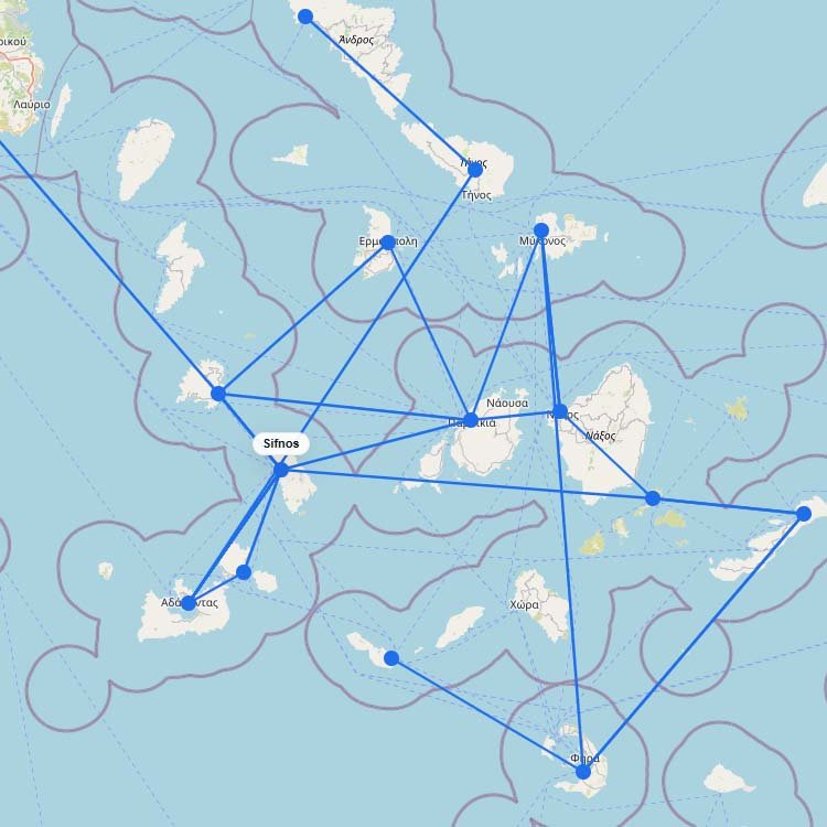
Seajets and Aegean Sea Lines, the largest operators in the western Cyclades, deliver over 100,000 annual passengers straightโฆ
+1
Cross the Gulf of Naples in just an hour by catching an Alilauro or Caremar hydrofoil straight outโฆ
Trade your car for a donkey on this strictly vehicle-free island, accessible via a two-hour fast ferry fromโฆ
+2
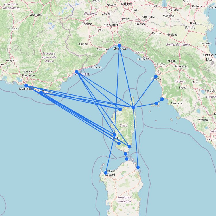
Drive your car straight onto a massive Corsica Ferries or Corsica Linea ship in Toulon or Nice andโฆ
Sitting a mere 1.2 kilometers off the Turkish coast, the twin ports of Vathy and Karlovasi process overโฆ
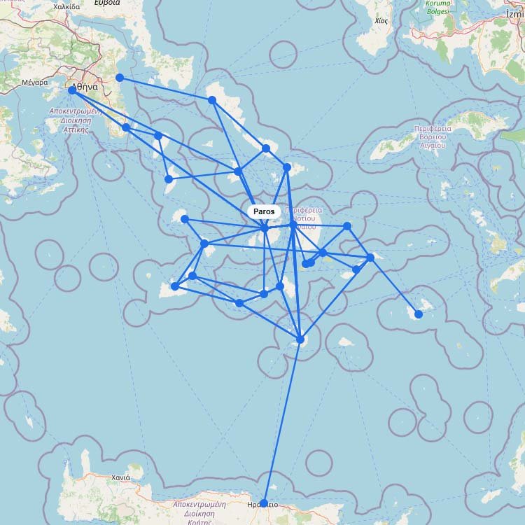
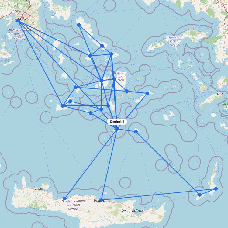
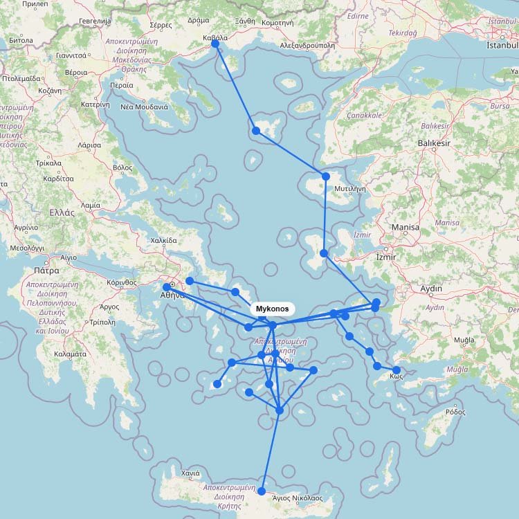
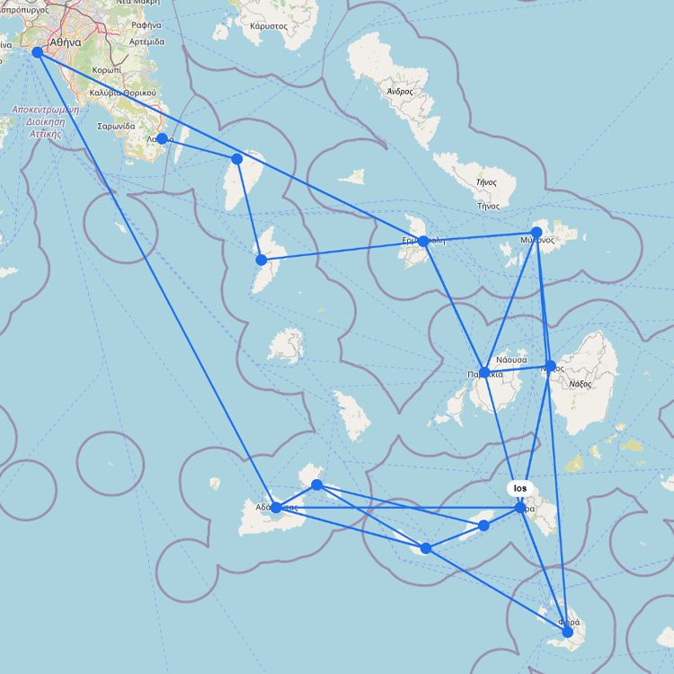
The map above shows that the Cyclades are one of Europeโs most connected ferry regions, but the networkโฆ
+4
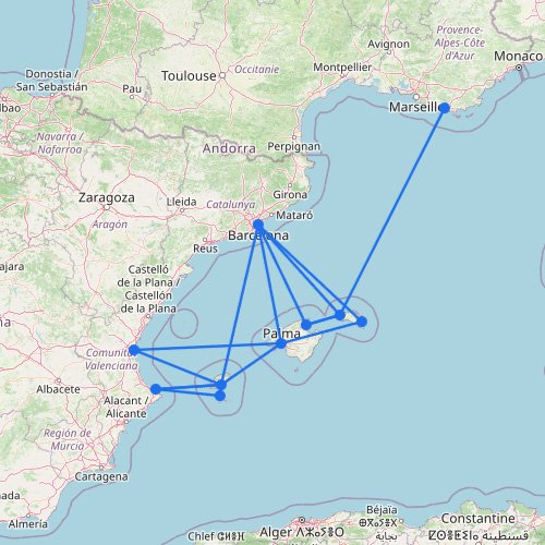
The Balearic Islands form one of the key ferry networks in the western Mediterranean. The map above showsโฆ
+3
Accessing this island in the Gulf of Thailand is managed primarily by Lomprayah and Seatran Discovery, with mostโฆ
Embrace the slow pace of the legendary Blue Zone by boarding a Blue Star Ferries ship out ofโฆ
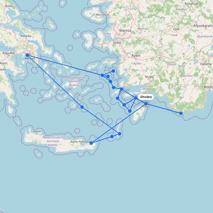
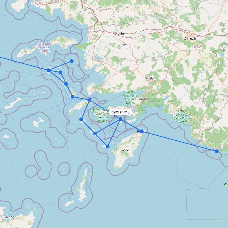
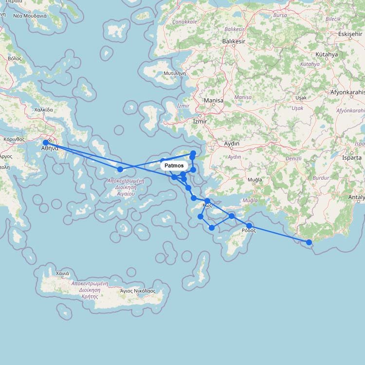
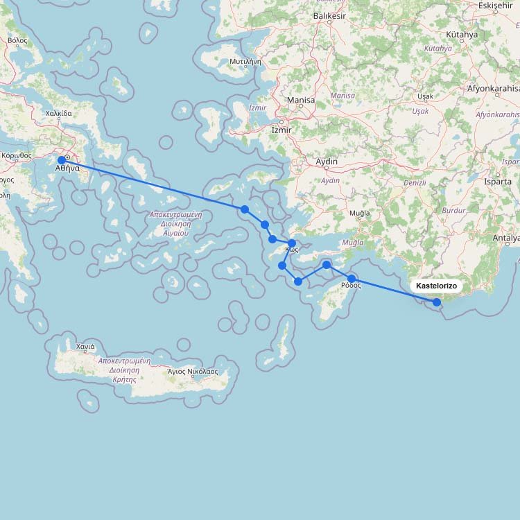
On the route map, the Dodecanese stand out as one of Greeceโs more spread-out ferry systems, with longโฆ
+5
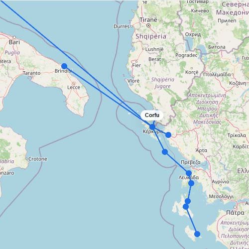
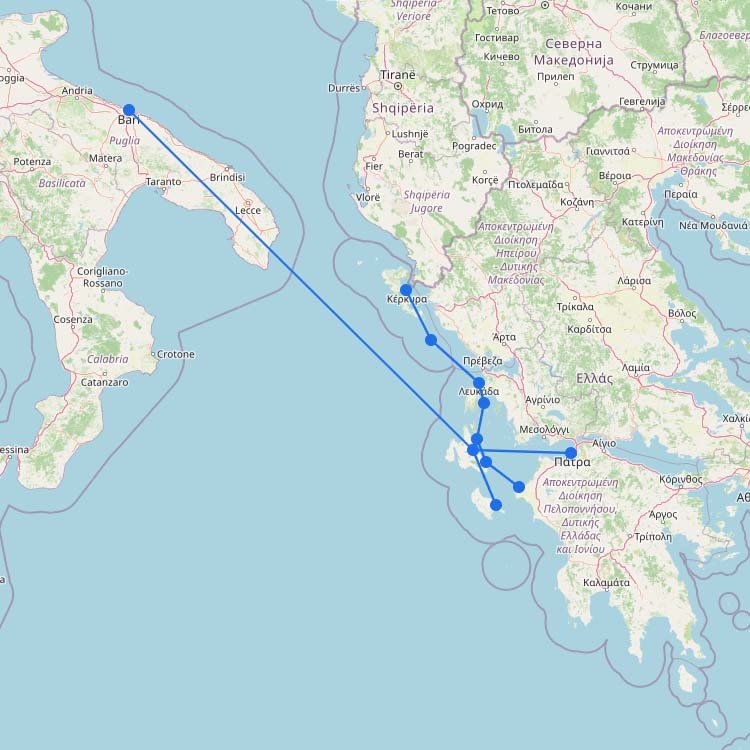
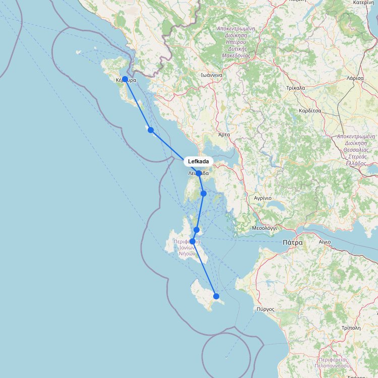
As shown on the interactive map above, ferry routes to Corfu include a mix of longer international crossings,โฆ
Seajets and Aegean Sea Lines are the primary operators serving the western Cyclades, transporting approximately 100,000 passengers annuallyโฆ
The main ferry routes to Kefalonia depart from the mainland port of Kyllini, taking just 90 minutes. Levanteโฆ
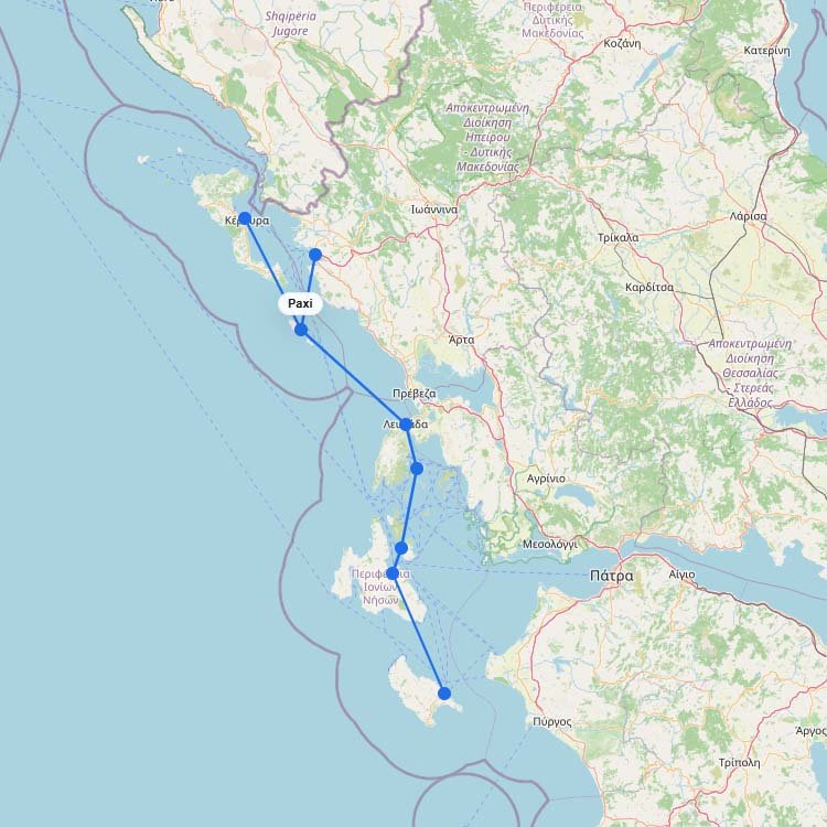
Sitting just 14 kilometers south of a major international airport, this tiny Ionian outpost relies entirely on theโฆ
Blue Star Ferries and Seajets command the largest fleet operations here, funneling over 400,000 yearly passengers straight intoโฆ
Ferry routes to Milos navigate the southwestern edge of the Cyclades, bringing you deep into the flooded volcanicโฆ
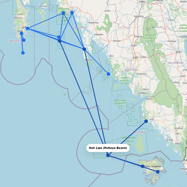
Koh Lipe is one of the more special ferry destinations in Thailand, but it is not the mostโฆ
+2
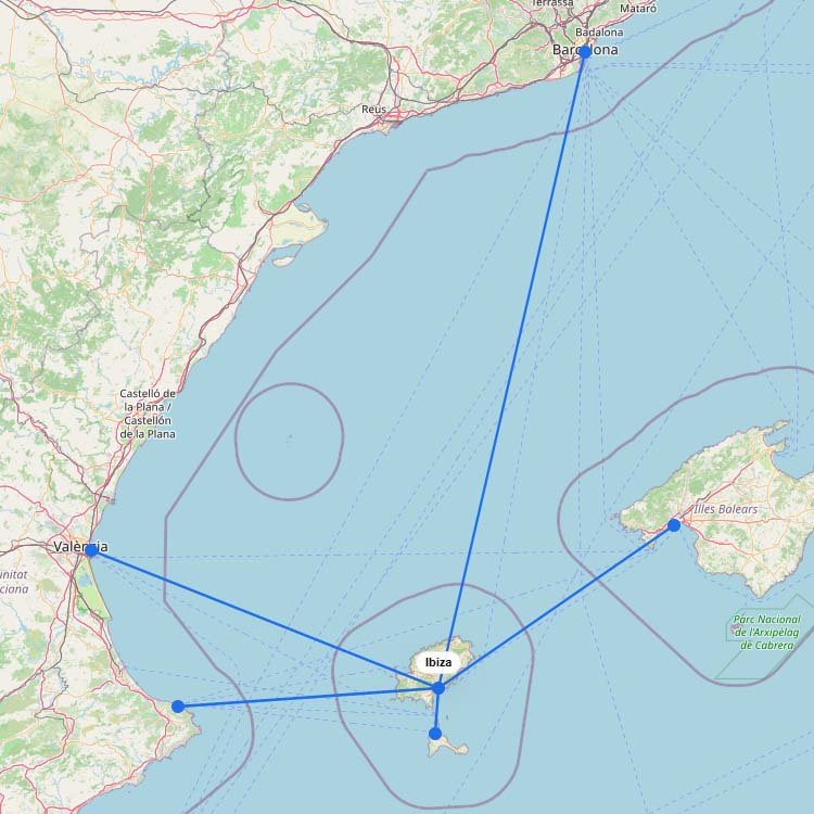
Ibiza is one of the main ferry destinations in the Balearic Islands, with routes from mainland Spain andโฆ
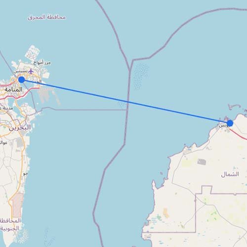
Skip the border traffic entirely. You can cross the Gulf on Masar Group's passenger-only fast ferry coming straightโฆ
+5
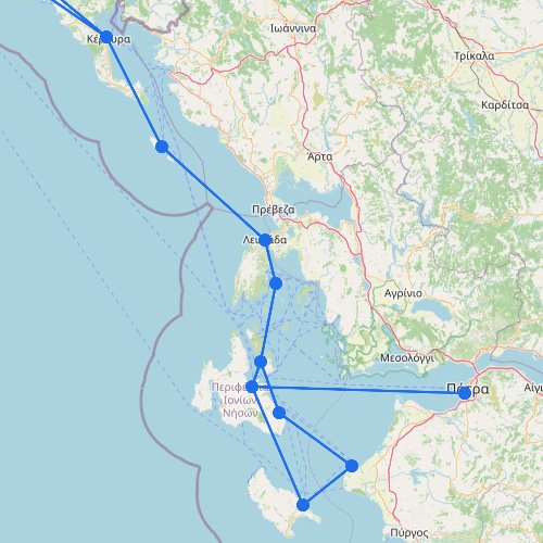
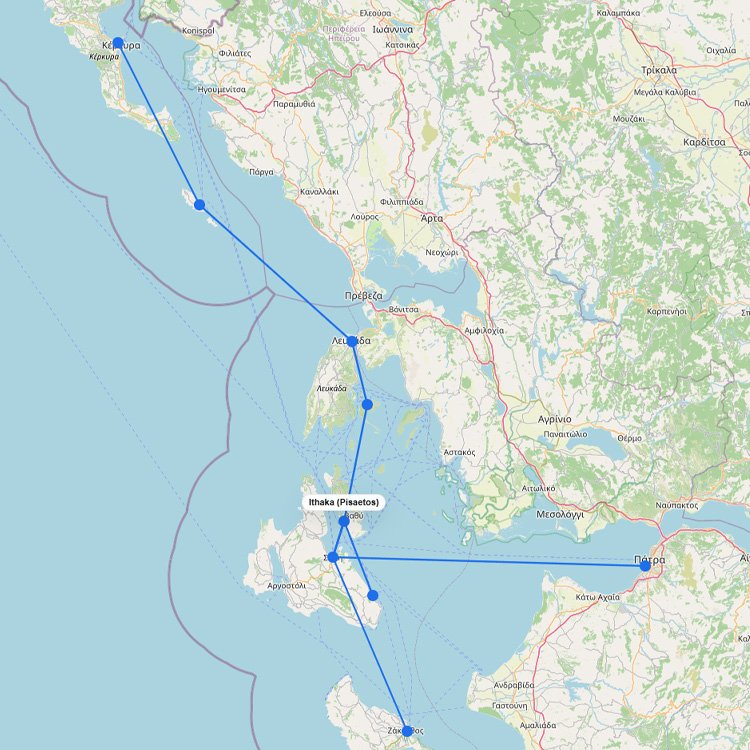
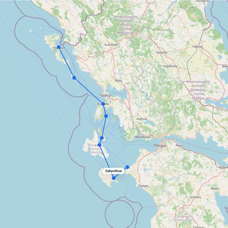
Across the map, the Ionian Islands form a compact but important ferry region on the western side ofโฆ
+6
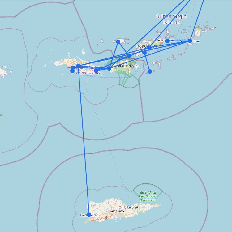
The ferry network in the U.S. Virgin Islands is the main way to get between St. Thomas, St.โฆ
Handling over 2.5 million passengers a year, the Acandia harbor serves as the primary maritime anchor of theโฆ
+1
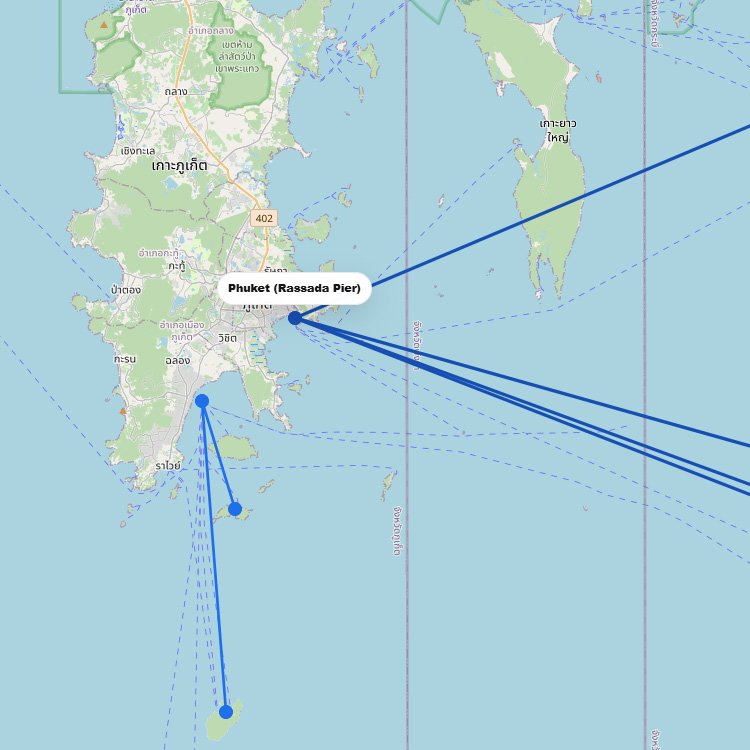
To reach this large island in the Andaman Sea, you should head to the Rassada Pier in Phuketโฆ
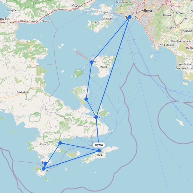
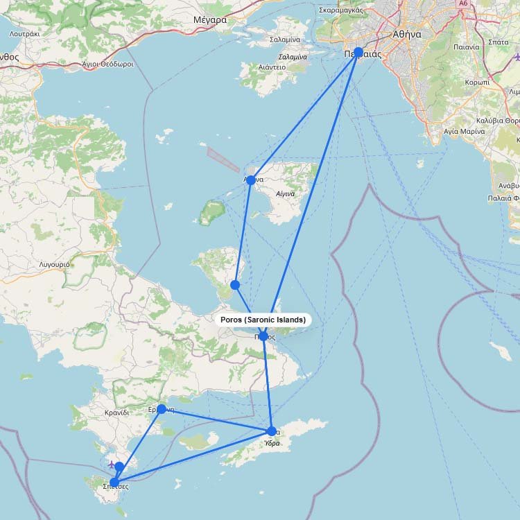
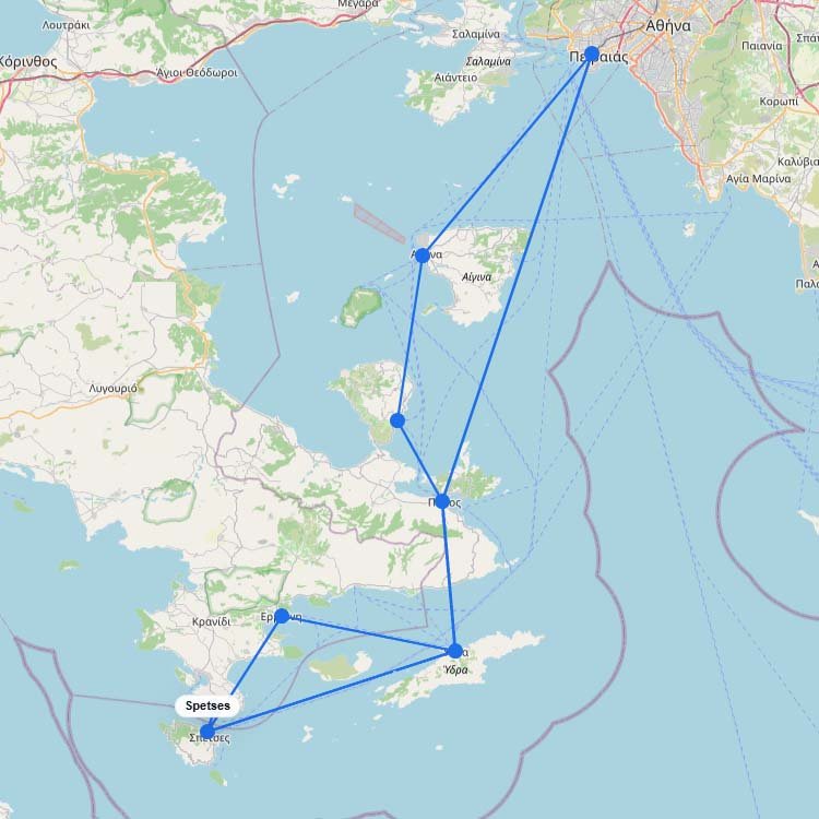
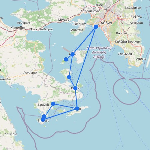
The Saronic Islands are close to Athens, so this is one of Greeceโs shortest and simplest ferry networks.โฆ
Ferry routes to Ithaca require a quick 30-minute crossing from neighboring ports. Levante Ferries runs these daily car-carryingโฆ
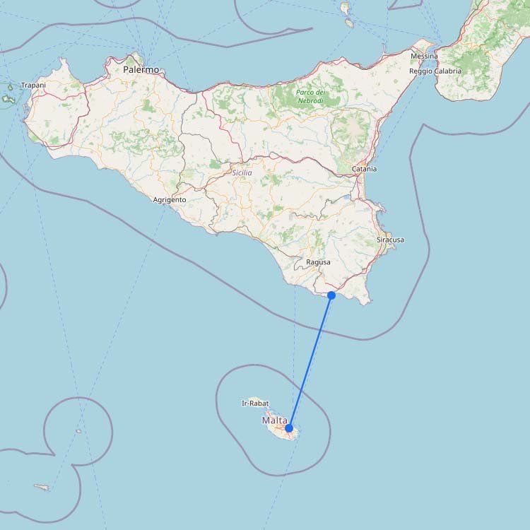
Ferry routes to Malta cross the Malta Channel from the southern tip of Sicily, depositing you straight intoโฆ
Over two million summer travelers funnel through the towering volcanic cliffs into the tiny, heavily congested port ofโฆ
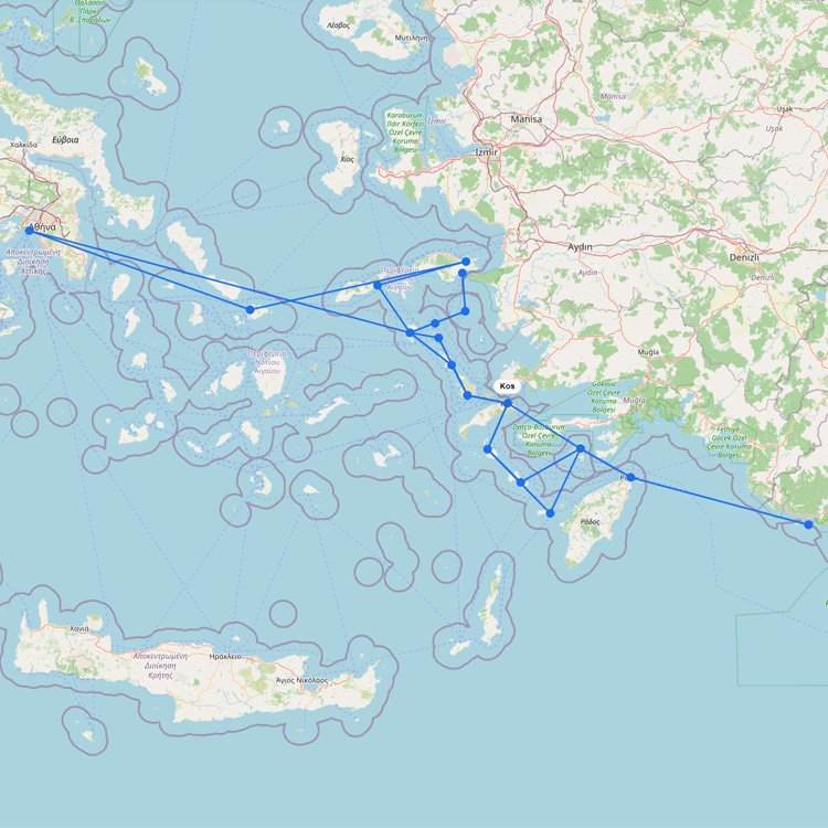
The main ferry routes to Kos run directly from Piraeus or neighboring Dodecanese islands on Blue Star Ferriesโฆ
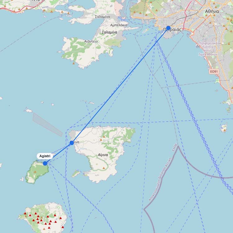
Traveling to Agistri is simple with a 55-minute fast ferry from the Piraeus terminal in Athens. Aegean Flyingโฆ
+1
Mallorca, also known in English as Majorca, is the largest of the Balearic Islands and one of theโฆ
+3
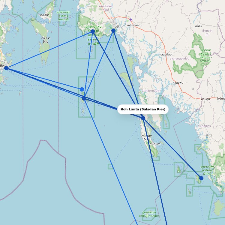
To reach the largest island in Thailand, most travelers use the high-speed networks of Bundhaya Speed Boat orโฆ
Leaving the Peloponnese mainland from the port of Kyllini, your ferry to Zakynthos takes just over an hourโฆ
Step right onto a high-speed hydrofoil from Naples or Sorrento and you will be walking the glamorous streetsโฆ
Ferry routes to Lesbos involve an overnight haul from Athens or a fast 45-minute crossing from the Turkishโฆ
Ferry routes to Naxos bring you straight into the heart of the Cyclades, docking at the main harborโฆ
Ferry routes to Mykonos cross the central Aegean from the mainland ports of Rafina and Piraeus, docking atโฆ
Your journey into the northern Dodecanese drops you directly at the deep-water harbor of Skala after a 160-nautical-mileโฆ
The Canary Islands work as an inter-island ferry network, with routes between islands such as Tenerife, Gran Canaria,โฆ
BB
Bang Bao Boat
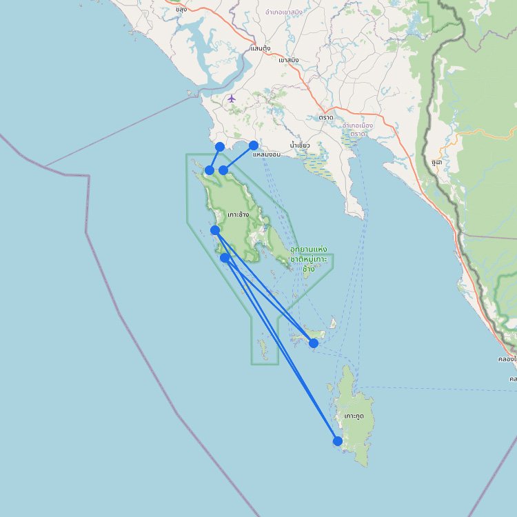
To reach this large island in eastern Thailand, you must board the Ferry Koh Chang or Center Pointโฆ
+1
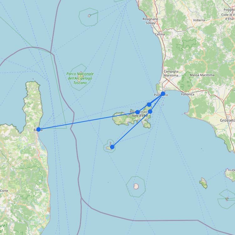
Leave the busy Tuscan mainland behind on a fast 45-minute crossing from Piombino. Toremar and Moby Lines manageโฆ
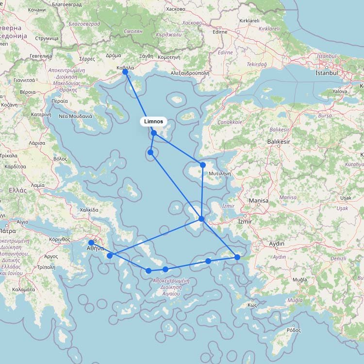
Ferry routes to Limnos cross the northern stretch of the Aegean Sea, docking right in the shadow ofโฆ
Over one million passenger movements flow through the busy docks of Parikia every summer. Blue Star Ferries andโฆ
Escape the heavy tourist crowds of the Cyclades by catching a high-speed Seajets catamaran or a traditional Zanteโฆ
Hellenic Seaways and Alpha Lines serve as the largest operators in the Saronic Gulf, moving roughly 200,000 footโฆ
Seajets and Blue Star Ferries, the largest operators in this emerald archipelago, guide over 150,000 travelers annually intoโฆ
+2
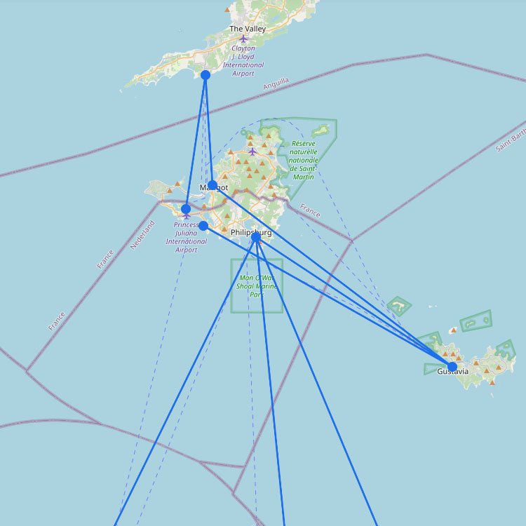
The ferry system in Saint Martin serves the northern Leeward Islands. As the map shows, the island isโฆ
+3
Reaching this island group in Thailand is managed by several high-speed operators like Bundhaya Speed Boat and Andamanโฆ
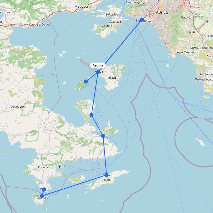
Reaching to Aegina requires a quick 40-minute ferry ride from the Piraeus port in Athens. Blue Star Ferriesโฆ
Discovering the ferry routes to Kastellorizo means booking a four-hour crossing with Blue Star Ferries or Dodekanisos Seaways.โฆ
To reach this province in Atlantic Canada, you typically arrive via high-speed ferry from Maine or year-round serviceโฆ
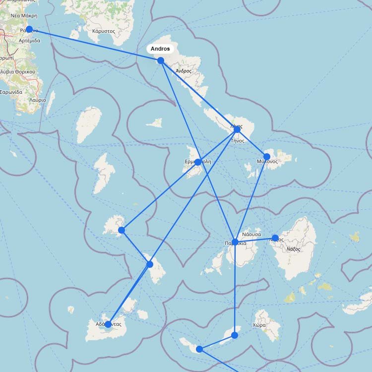
Getting to Andros takes just two hours by ferry from the Rafina port near Athens. Fast Ferries andโฆ
Your crossing into the North Aegean starts on a massive Blue Star Ferries vessel out of Piraeus, orโฆ
+4
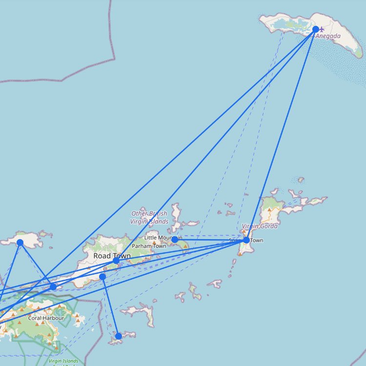
Most ferry routes in the British Virgin Islands (BVI) run between Tortola, Virgin Gorda, Jost Van Dyke, andโฆ
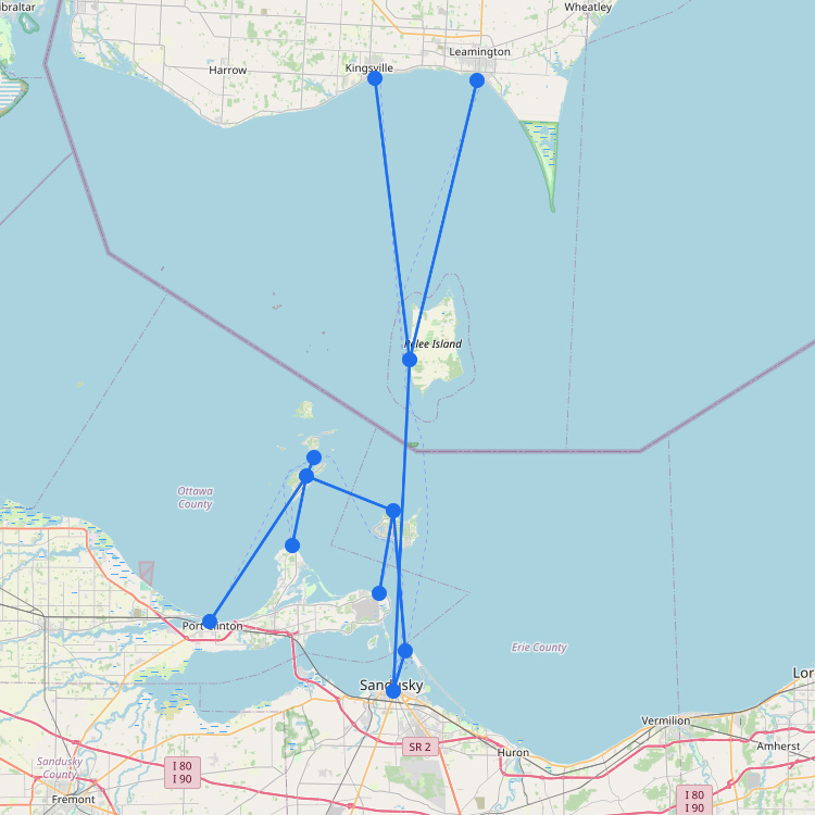
Reaching Canadaโs southernmost inhabited point in the Great Lakes requires using the Owen Sound Transportation Company, with departuresโฆ
Dodekanisos Seaways and Blue Star Ferries are the largest operators crossing this pocket of the Dodecanese, dropping overโฆ
Fast Ferries and Seajets stand out as the largest operators navigating the windy northern Cyclades, delivering roughly 500,000โฆ
Separated from the Peloponnese by a channel just 200 meters wide, this Saronic Gulf island sees hundreds ofโฆ
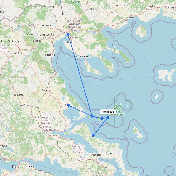
To sail to Alonissos, you catch a vessel from the mainland ports of Volos or Mantoudi. Seajets andโฆ
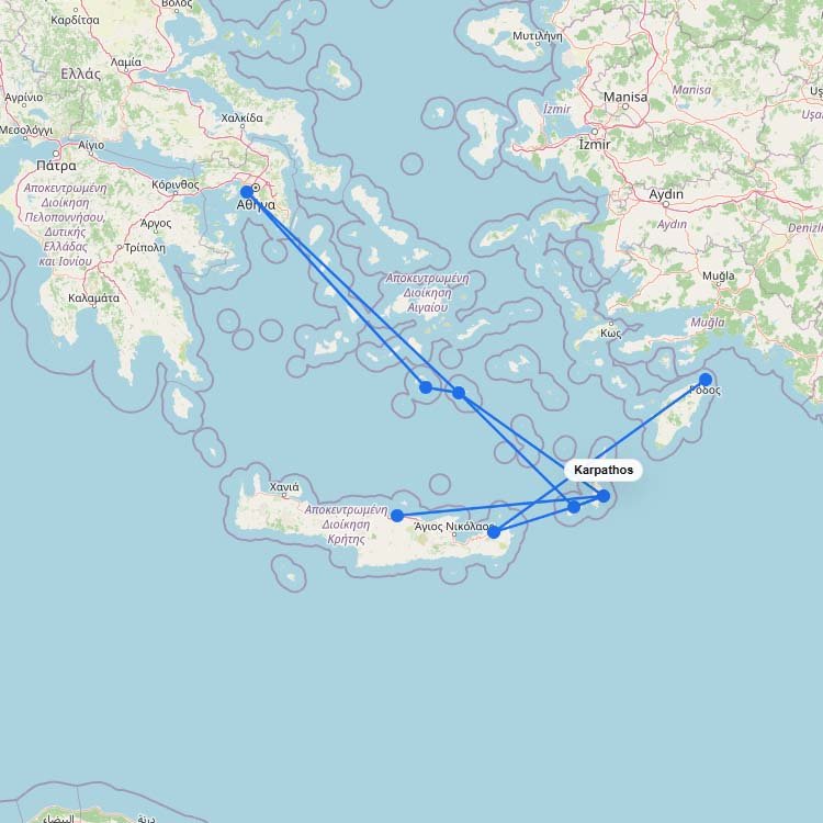
Taking the ferry routes to Karpathos involves a longer Aegean voyage on massive Blue Star Ferries vessels. Thisโฆ
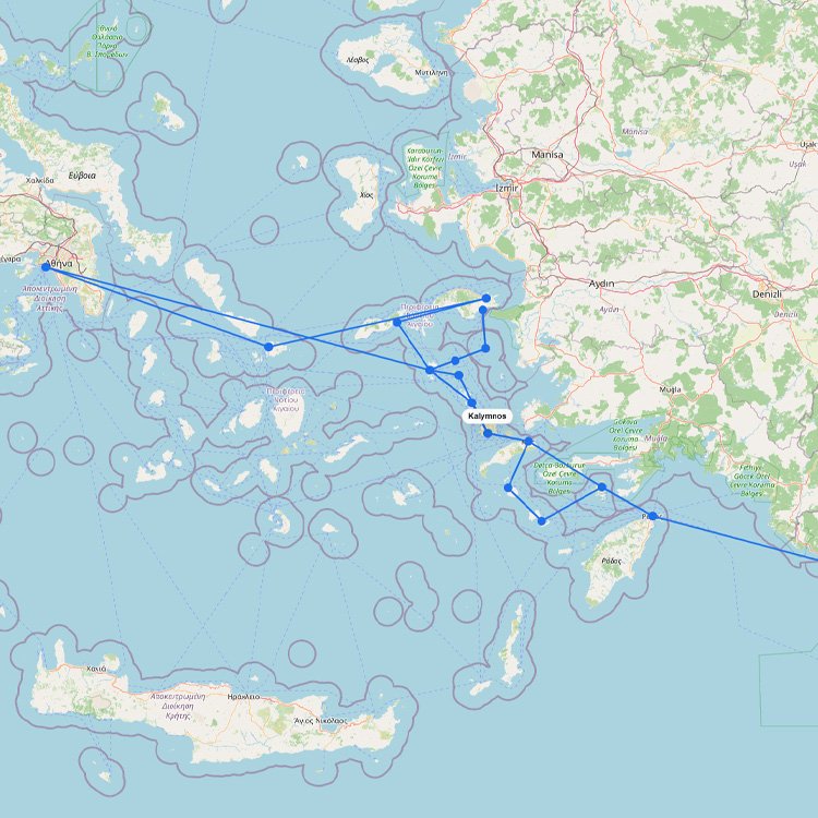
Navigating the ferry routes to Kalymnos is easy with a swift 45-minute catamaran ride across the Dodecanese. Dodekanisosโฆ
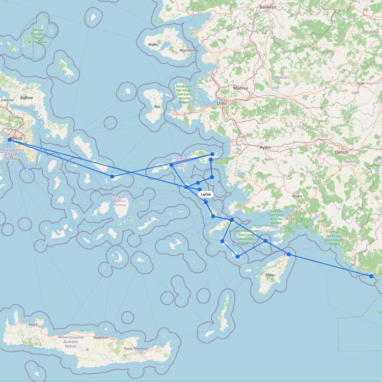
Ferry routes to Leros bring you directly into the deep-water port of Lakki or the smaller Agia Marinaโฆ
+2
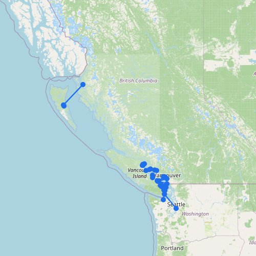
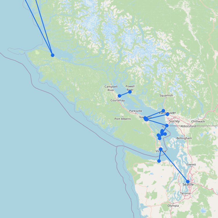
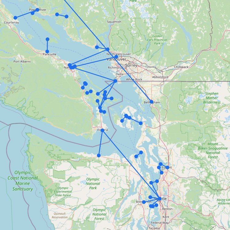
The map above shows why British Columbia has one of the most important ferry systems in North America.โฆ
+9
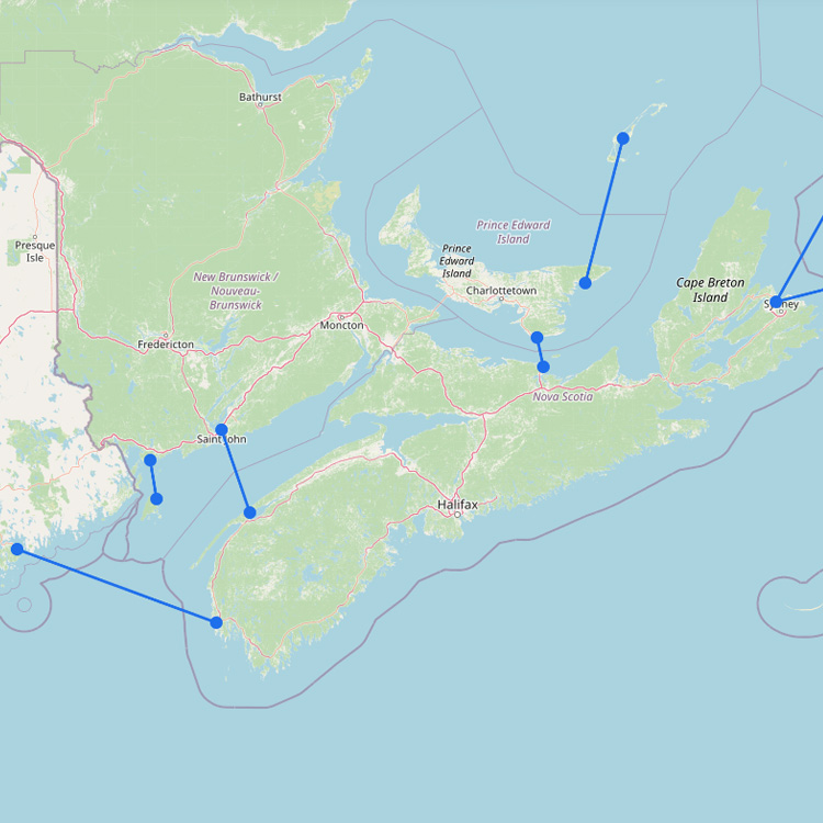
Atlantic Canadaโs ferry routes are closely tied to the North Atlantic. Ferries connect the maritime provinces to islandโฆ
The primary way to reach this rugged island in Atlantic Canada is through the massive ice-class vessels ofโฆ
Roughly 70,000 annual visitors sail into the deep, horseshoe-shaped bay of Livadi. Seajets and Zante Ferries are theโฆ
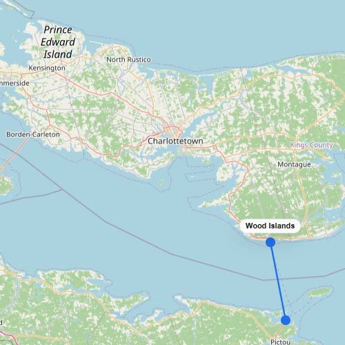
To reach Prince Edward Island by water, you take the Northumberland Ferries (NFL) vessel across the strait fromโฆ
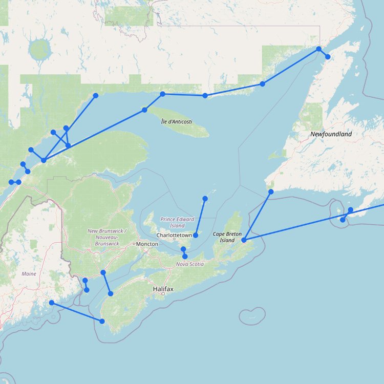
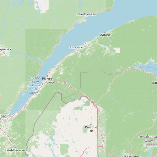
The map above shows how the ferry network around St Lawrence and Quebec is shaped by one ofโฆ
+1
To reach Victoria in British Columbia, you must board the BC Ferries fleet from the Tsawwassen or Horseshoeโฆ
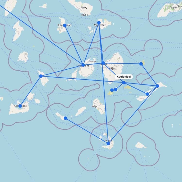
Ferry routes to Koufonisia offer a high-speed escape into the Small Cyclades aboard Seajets or the legendary Expressโฆ
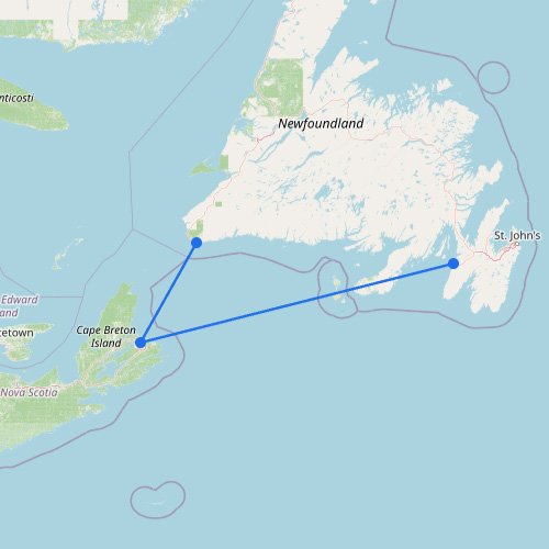
To get to Cape Breton Island by water, you take the Marine Atlantic ferry. As the largest operatorโฆ
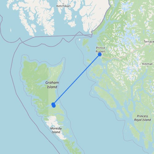
Reaching the remote archipelago of Haida Gwaii requires a long ocean crossing across the Hecate Strait. You boardโฆ
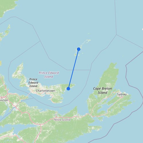
To reach the Magdalen Islands, you take the CTMA ferry from Souris. This five-hour crossing connects the islandsโฆ
To reach Salt Spring Island, you take a BC Ferries vessel from either the Tsawwassen mainland terminal orโฆ
+17
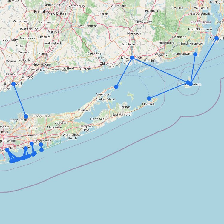
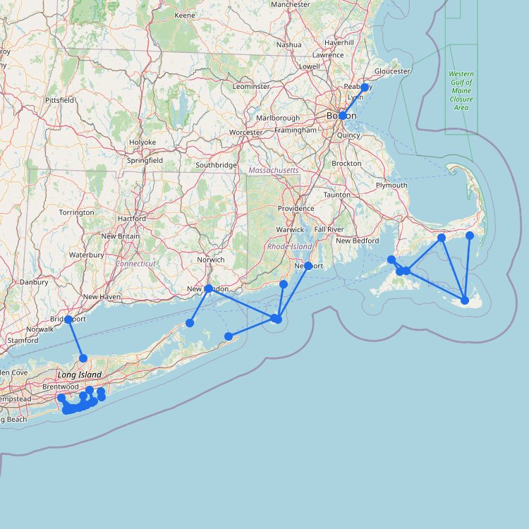
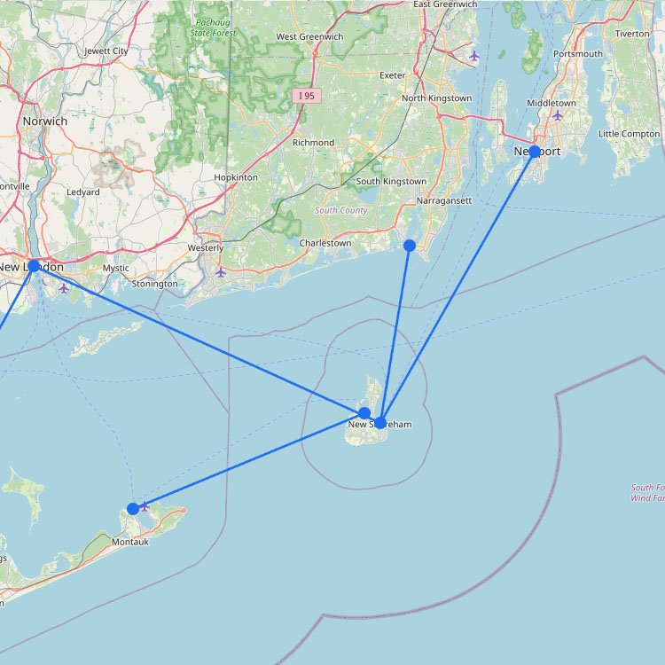
The map above shows how the ferry network in the Northeast helps ease congestion along the I-95 corridor,โฆ
+11
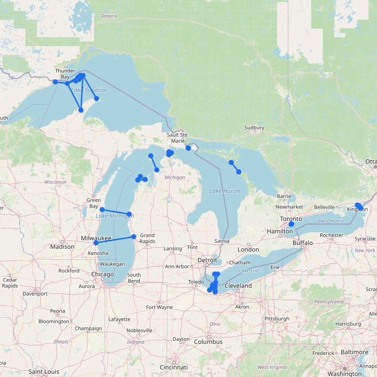
As the map above shows, the Great Lakes ferry network uses key shortcuts and island access points thatโฆ
+4
Long Island is easily reachable by car if youโre coming from New York. However, for many travelers fromโฆ
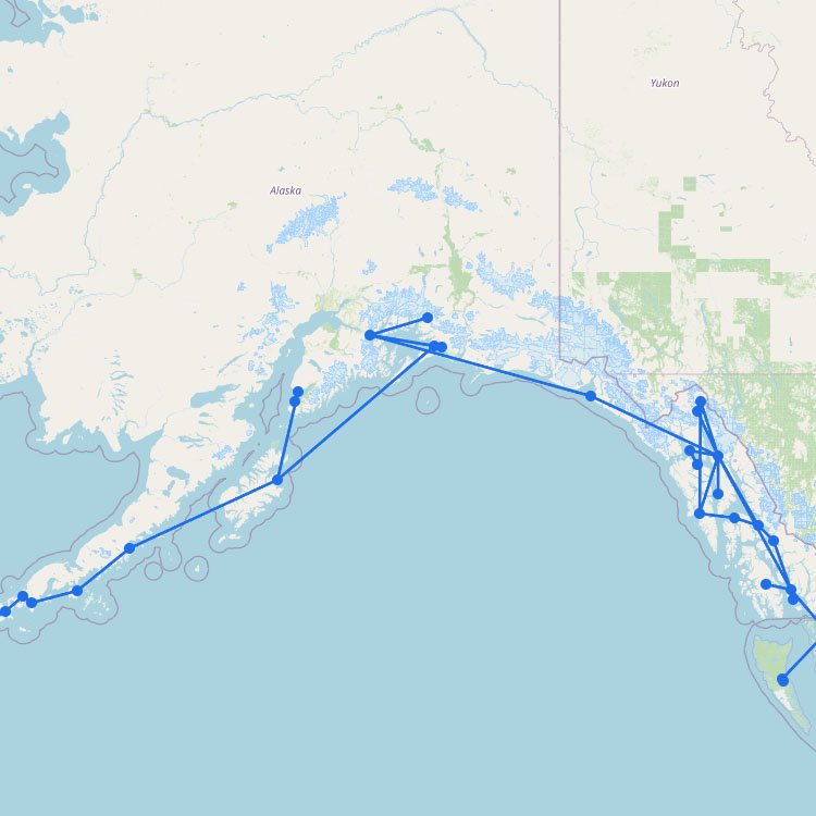
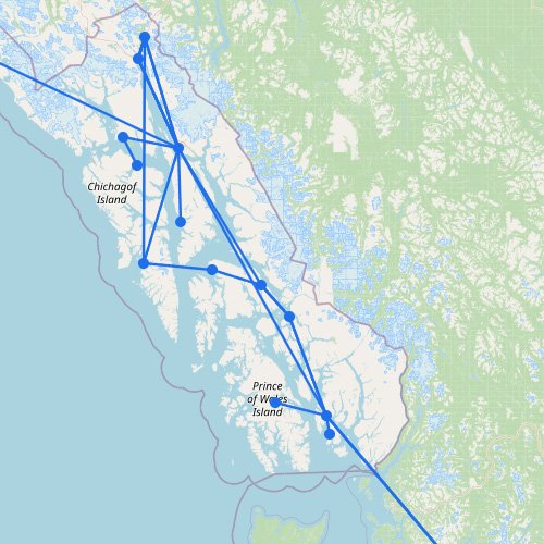
The Alaska Marine Highway isnโt like a normal ferry route. Itโs a long coastal system of about 3,500โฆ
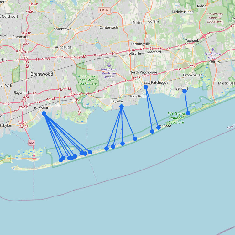
Accessing this car-free destination in the Northeast requires a ferry from the south shore of Long Island, managedโฆ

+1
The ferry system in the Northwest is the largest in the US and works like a floating highway.โฆ
+1
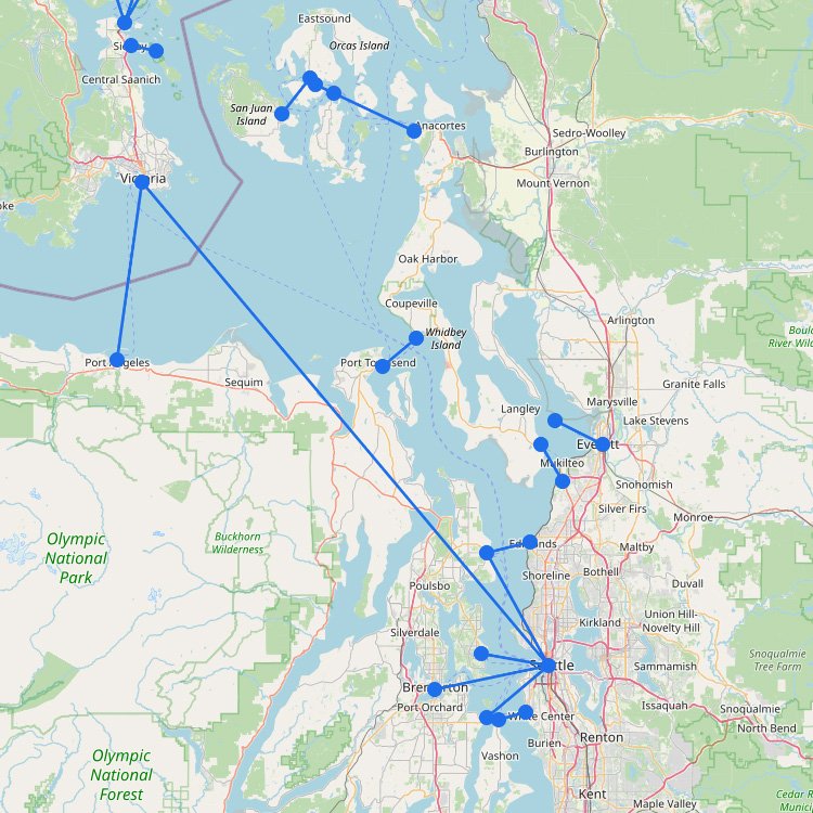
The Puget Sound region has one of the best-known ferry fleets in the United States. As the mapโฆ
The ferry system in California is split between the frequent commuter routes around the San Francisco Bay Areaโฆ
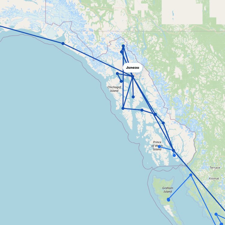
On the route map, Southeast Alaska shows up as a long stretch of water rather than a singleโฆ
Ferry routes to Juneau bring you through the breathtaking Inside Passage directly into the Auke Bay terminal. Theโฆ
+3
The map above shows the main ferry routes across Florida. These connections link directly to the Caribbean andโฆ
Reaching this island in the Northeast requires a crossing from Cape Cod, with the Steamship Authority operating theโฆ
Drop your bags on the golden beaches of this Cycladic hotspot after a fast four-hour ride with Seajetsโฆ
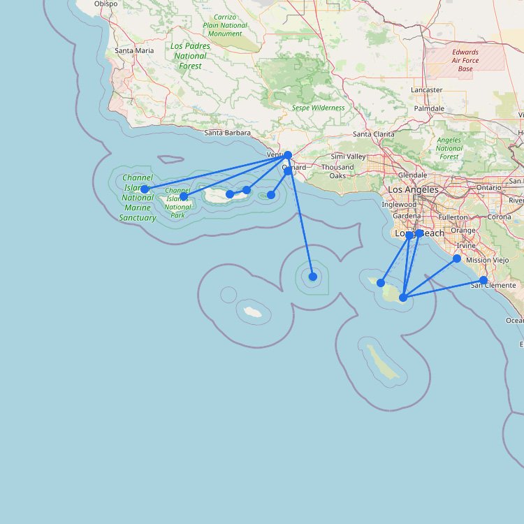
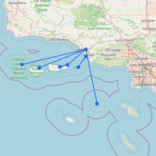
On this route map, the Channel Islands stand out as a small but exposed ferry region off theโฆ
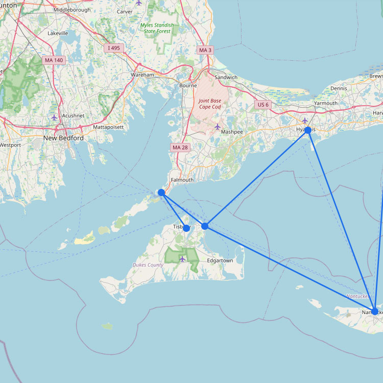
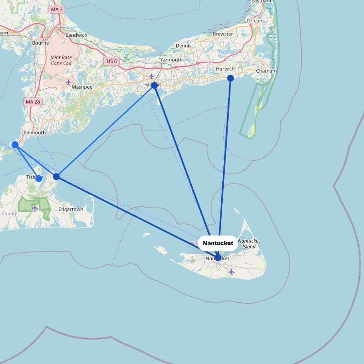
Most ferries to Nantucket depart from Cape Cod, Massachusetts, particularly from Hyannis. As shown on the map above,โฆ
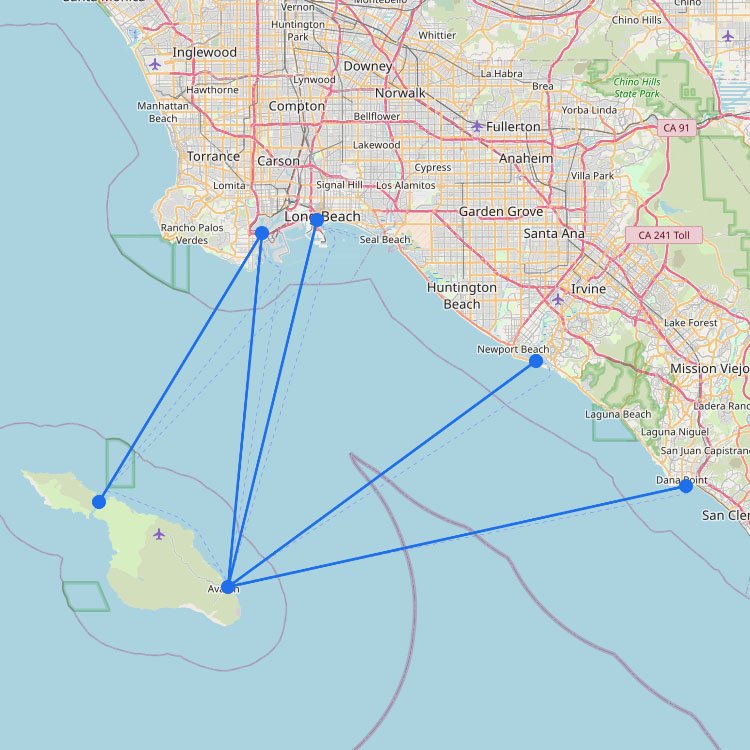
Reaching Catalina Island requires a 22-mile crossing from mainland California, typically departing from Long Beach, San Pedro, orโฆ
Reaching this island in the Northeast is most common via the Block Island Ferry from Point Judith, whichโฆ
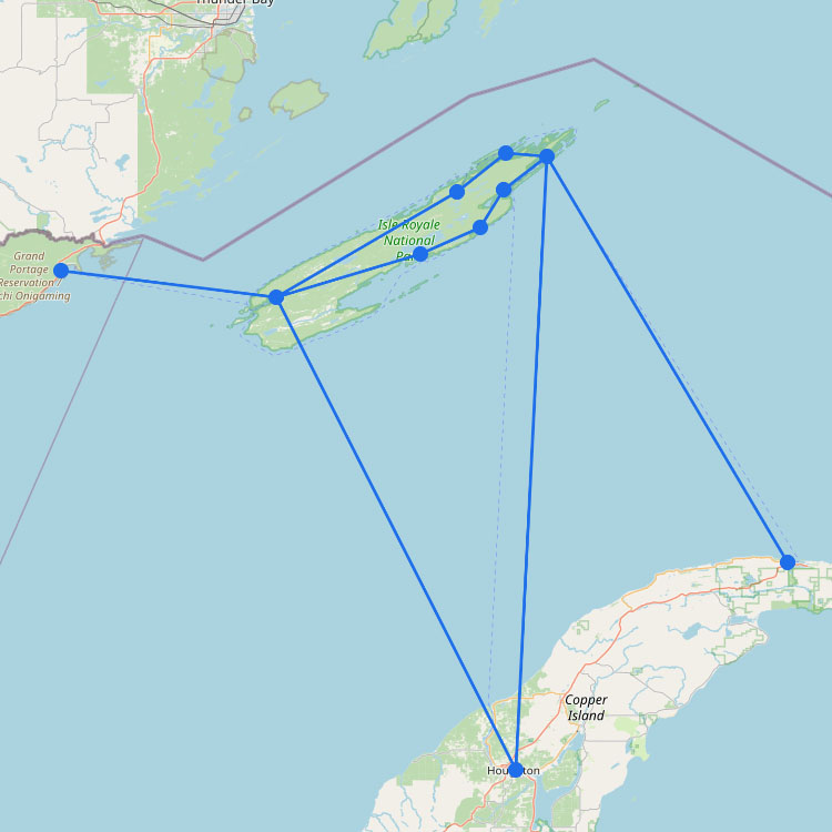
Ferry routes to Isle Royale cross the massive, cold waters of Lake Superior from mainland ports like Houghton,โฆ
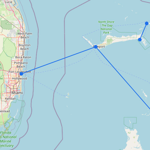
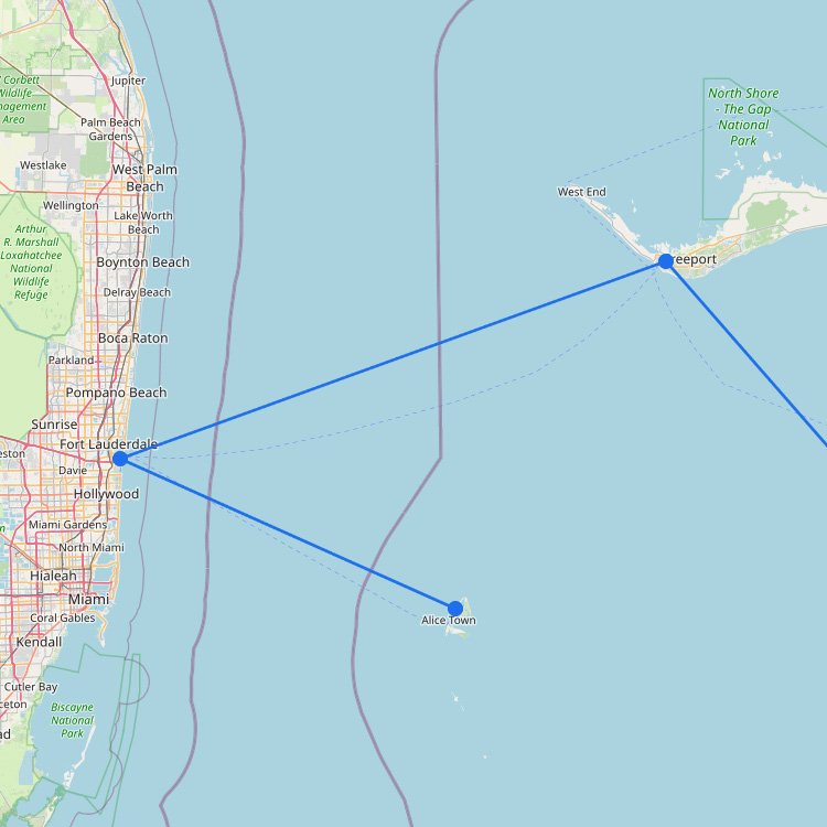
Grand Bahama is one of the larger islands of the Bahamas, located in the north. From Miami, thereโฆ
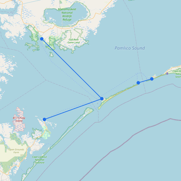
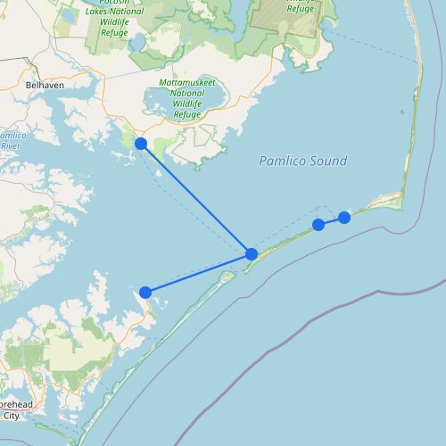
Reaching this remote outpost in the North Carolina Outer Banks requires using the NC Ferry System from eitherโฆ
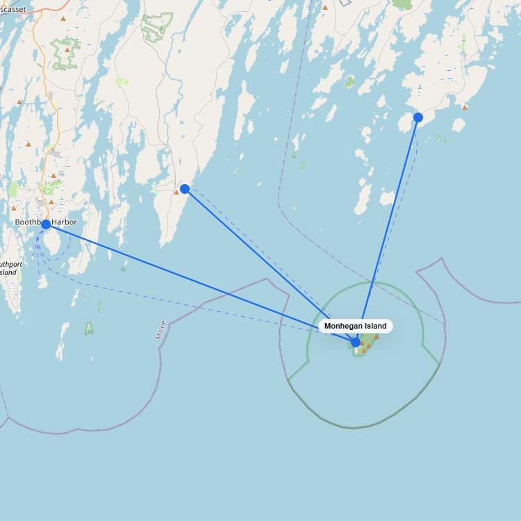
Ferries to Monhegan Island operate from three mainland ports in Maine: Port Clyde, New Harbor, and Boothbay Harbor.โฆ
The ferry network along the North Carolina Outer Banks extends the stateโs highway system across the inlets betweenโฆ
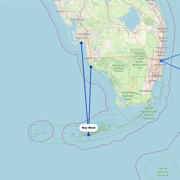
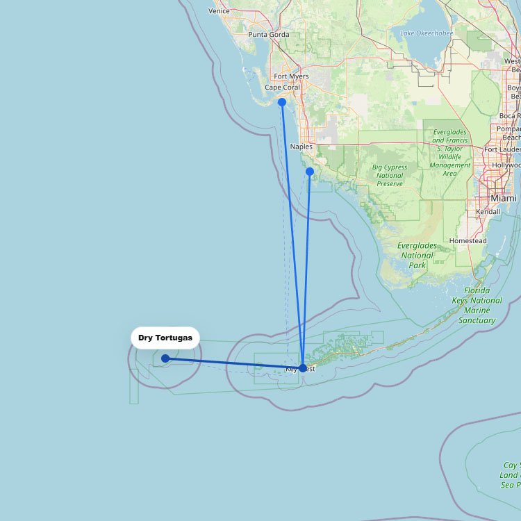
Ferries to Key West depart from mainland Florida, with crossings from Fort Myers Beach and Marco Island acrossโฆ
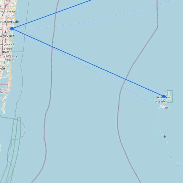
Ferries to the Bahamas from Florida operate on two key routes. Thanks to high-speed ferries operated by Baleariaโฆ
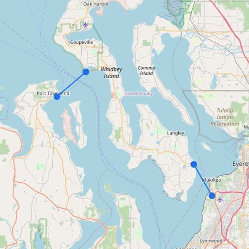
Ferry routes to Whidbey Island cross the Puget Sound via the Mukilteo-Clinton line or the Port Townsend-Coupeville route.โฆ
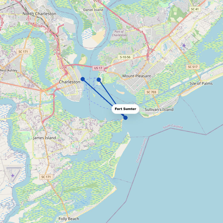
Departing from Liberty Square or Patriots Point, Fort Sumter Tours operates the exclusive ferry link to this historicโฆ
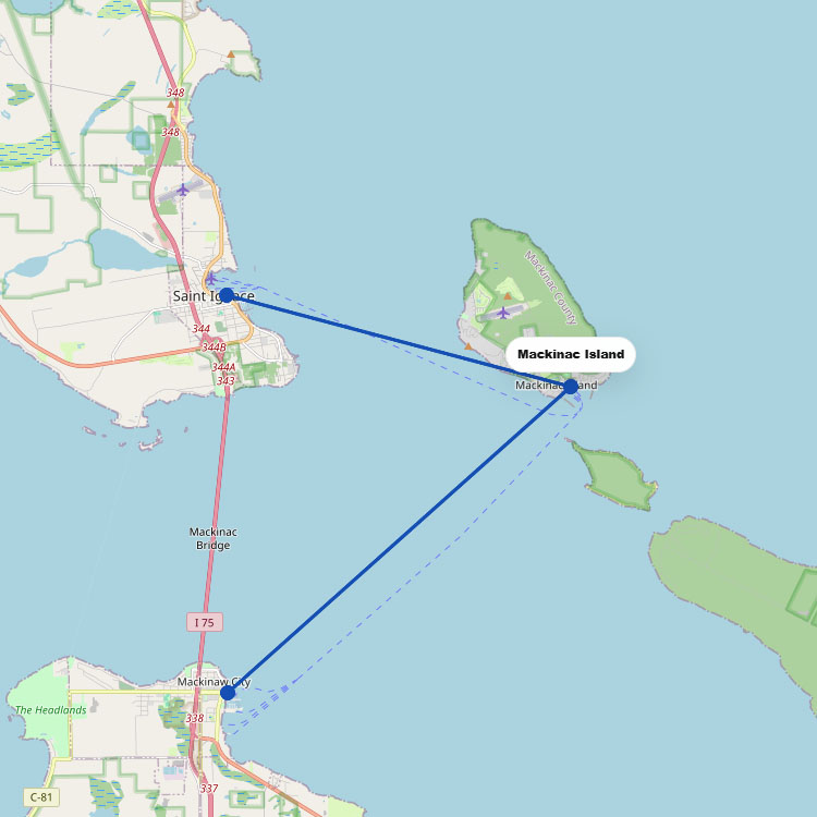
Accessing this vehicle-free landmark in the Great Lakes region is managed primarily by Sheplerโs Mackinac Island Ferry andโฆ
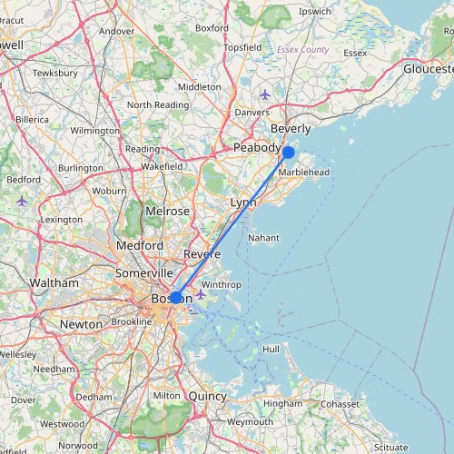
The map of Boston shows how the harbor ferry system links the historic downtown waterfront with East Boston,โฆ
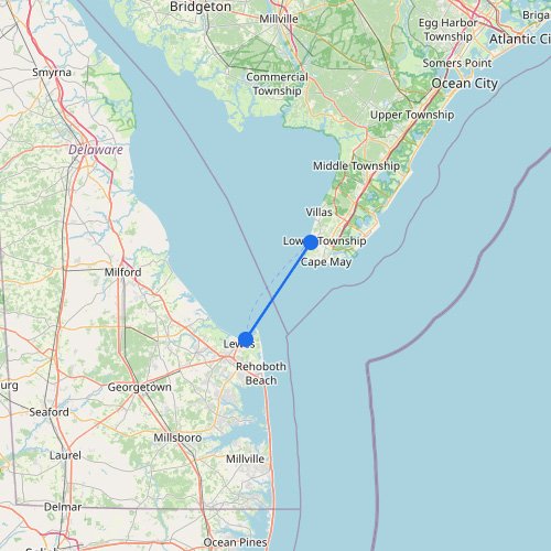
Seen on the map, Delaware Bay is a practical ferry shortcut between two sides of the Mid-Atlantic coast.โฆ
Ferry routes to Lopez Island depart from the mainland docks of Anacortes, navigating the scenic Rosario Strait. Washingtonโฆ
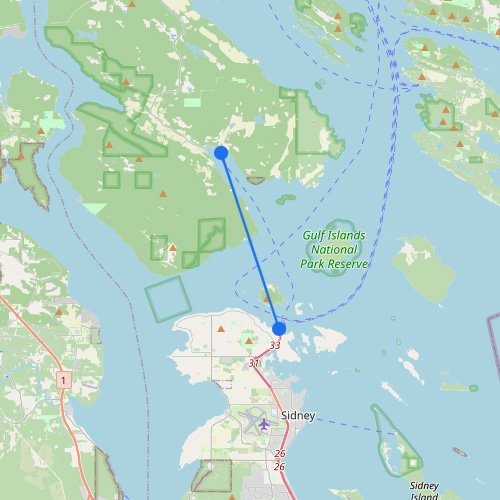
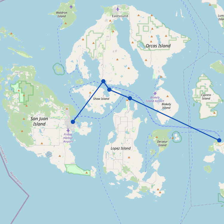
Departing from the Anacortes terminal, the Washington State Ferries fleet provides the essential vehicle link to Friday Harborโฆ
Ferry routes to Juneau bring you through the breathtaking Inside Passage directly into the Auke Bay terminal. Theโฆ
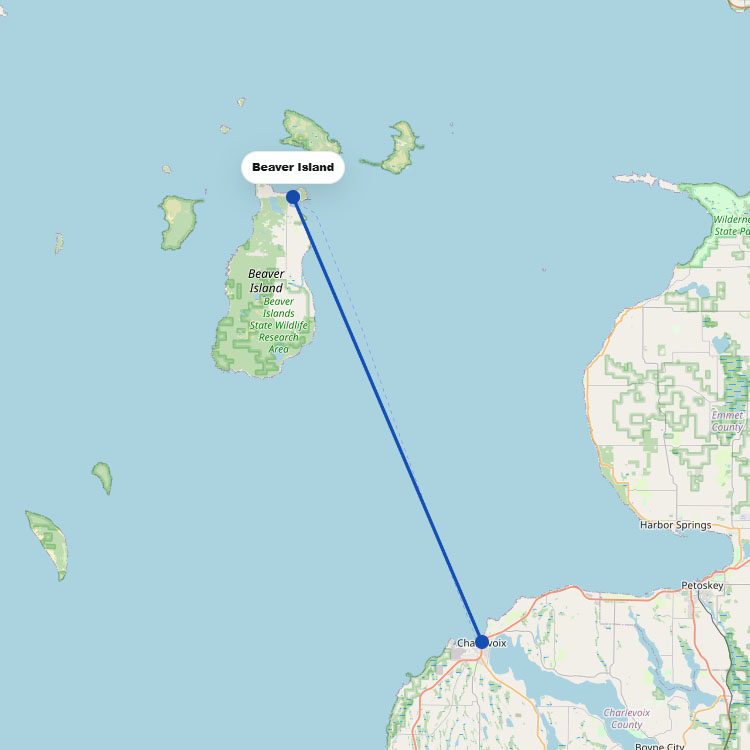
Reaching the most remote inhabited island in Lake Michigan requires a two-hour crossing from Charlevoix, managed by theโฆ
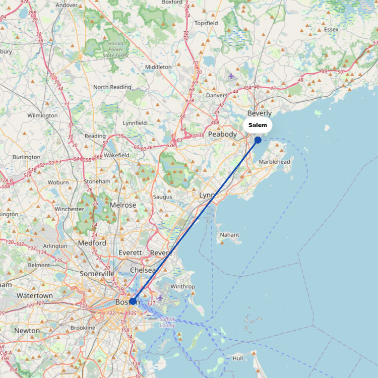
Running seasonally from Bostonโs Long Wharf, the Salem Ferry (operated by Boston Harbor City Cruises) provides a high-speedโฆ
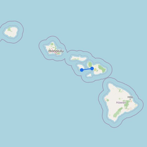
The route map for Hawaii shows why ferry travel here is much more limited than many travelers expect.โฆ
Reaching this remote national park in the Gulf of Mexico requires a nearly 70-mile boat trip from Keyโฆ
Getting to Manitoulin Island from the Bruce Peninsula requires a two-hour ride on the MS Chi-Cheemaun. Operated byโฆ
Bimini is located just about 50 miles off the coast of Miami, making it an ideal destination forโฆ
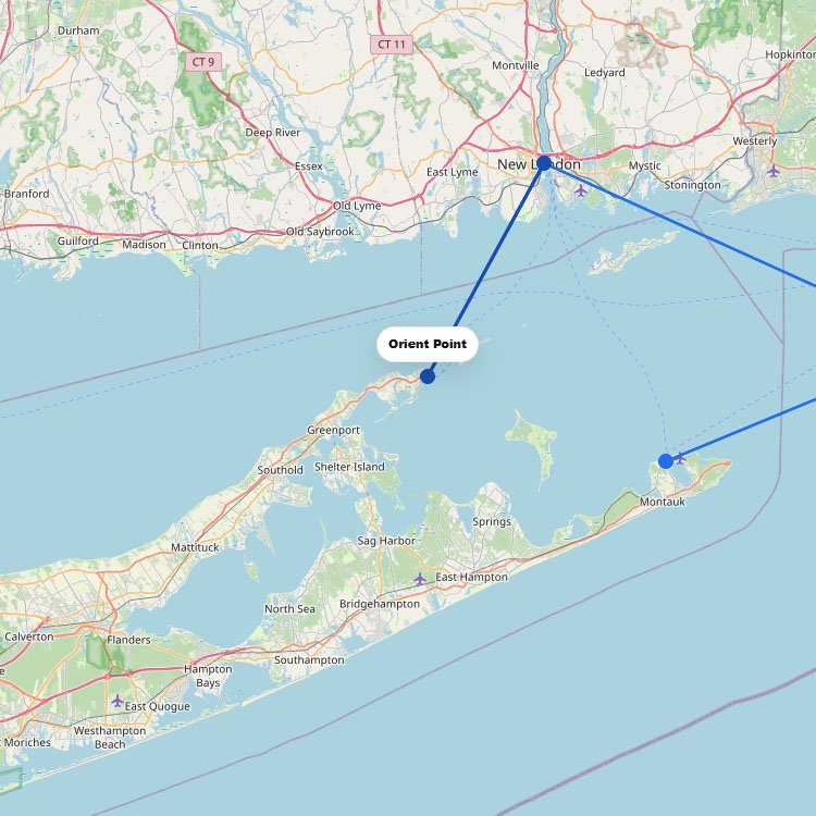
To travel between Long Island (Orient Point) and New London, Connecticut, you can use the Cross Sound Ferryโฆ
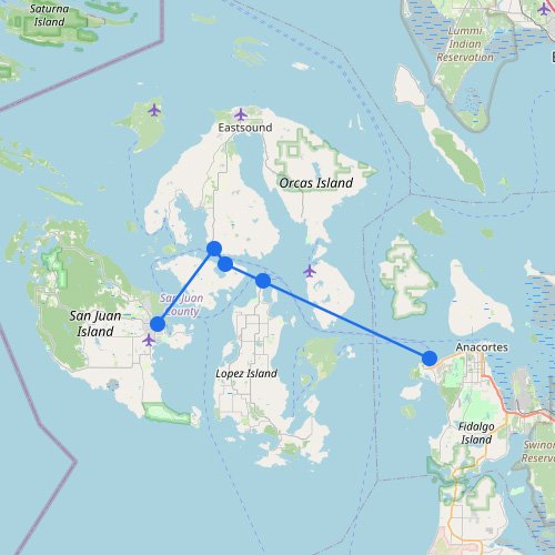
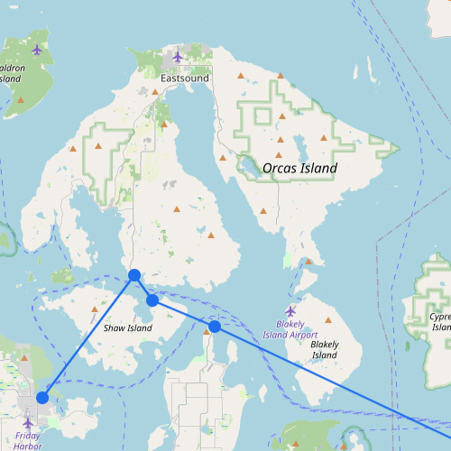
The San Juan Islands are connected by short ferry routes between the mainland in Washington State and islandsโฆ
+281
As shown on the map, the San Francisco Bay Area ferry system has grown into a transit optionโฆ
No maps match this filter.
Ferry travel is not always straightforward. Different ports, operators and routes can lead to the same destination. Ferrygogo brings these options together, so you can compare connections and choose the route that fits your trip.
Start by exploring a region or zooming in on a destination.