Alaska Ferry Map
The Alaska Marine Highway isn’t like a normal ferry route. It’s a long coastal system of about 3,500 miles, linking communities where there’s no road connection. These crossings aren’t short commuter trips like the ferries in the Puget Sound. Travel here is slower and heavier, shaped by distance, weather, and isolation. On the map, the route starts in Bellingham, Washington, runs along the coast of British Columbia, then continues into Southeast Alaska and beyond. For anyone planning a long northbound trip, it’s a key part of the Seattle to Anchorage route.
Explore ferry destinations in Alaska
Using the Alaska Marine Highway: what to know
On the Alaska ferry, it feels less like public transport and more like a moving base camp. You sleep on board, watch the coastline for hours, and step off at places that aren’t well connected to the rest of the road system. It’s slow, sometimes awkward, but it’s hard to beat if you actually want to see this part of Alaska properly.
How stopovers work
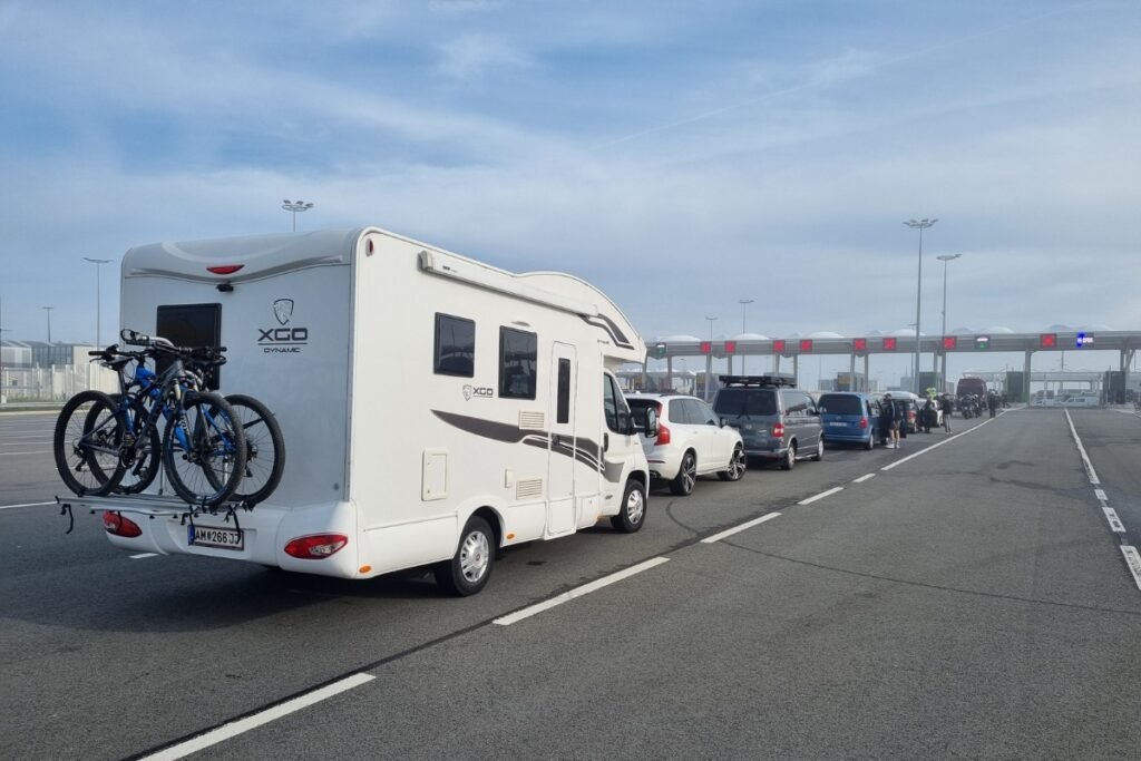
One key thing: you don’t always have to book the whole route in one go. Many people split the trip into legs. Instead of going straight from Bellingham to Juneau, you can stop along the way, like Ketchikan or Sitka, stay a few days, then continue north on a later sailing. It’s more flexible and it gives you time in towns that would otherwise pass by quickly from the deck. The trade-off is planning: space can disappear early, especially when locals are booking vehicles and other essential travel.
Solarium or cabin
Where you sleep matters on a long ferry trip. Cabins are available, but many travelers don’t book one. Instead, they sleep in the solarium, the covered deck area toward the back of the ship. It’s the budget option and it’s common. People bring sleeping pads, sleeping bags, and sometimes small setups they secure against the wind. It’s part of ferry life, but it’s not for everyone. If you want privacy and an actual bed, book a cabin as soon as you can, since those usually go first.
Timing isn’t just about distance
Routes can look straightforward on a map, but in Alaska, timing depends on sea conditions, the ship’s schedule, and long gaps between departures. Some parts of the Inside Passage are calmer, but others involve more exposed water, especially on longer legs. That affects comfort and can affect timing. Delays aren’t unusual, and missing a sailing can be a bigger problem here than on a short, frequent route. In parts of the network, the next sailing might not be later the same day. It could be days away. Check the route carefully before you book, and pay attention to which ports are easy steps and which ones leave you with fewer options.
Read more
Explore more ferry regions worldwide
+17
Thailand Ferry Map
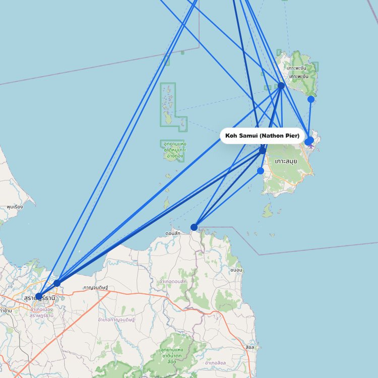
Thailand’s ferry map quickly shows why the country is such a strong island-hopping destination. The network is split…
+12
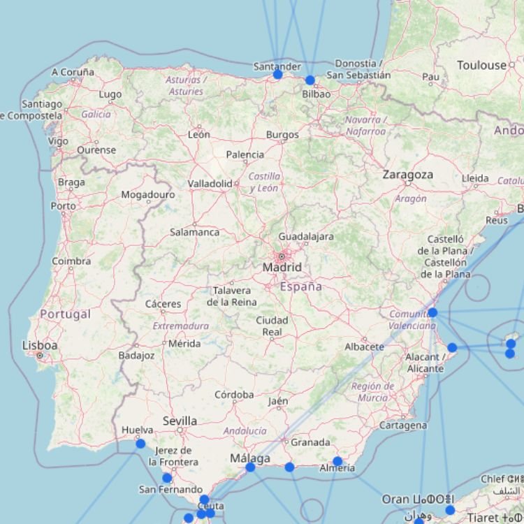
Spain Ferry Map
Spain’s ferry network is best understood as several separate travel corridors rather than one national system. Mainland ports…
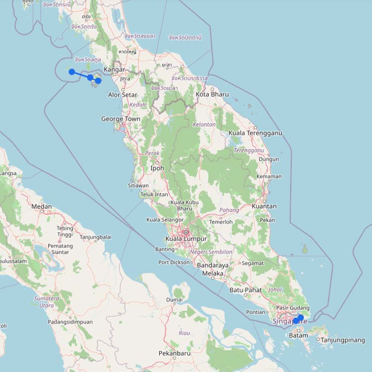
Ferries to Malaysia
Malaysia’s international ferry network consists of several separate regional corridors. Ferries connect the country with Thailand, Indonesia and…
SC
Sea Crest Ferry
+1
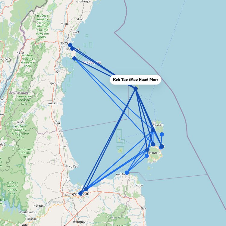
Ferries to Koh Tao
Koh Tao has no airport, so every visitor arrives by boat at Mae Haad Pier. From the mainland,…
+3
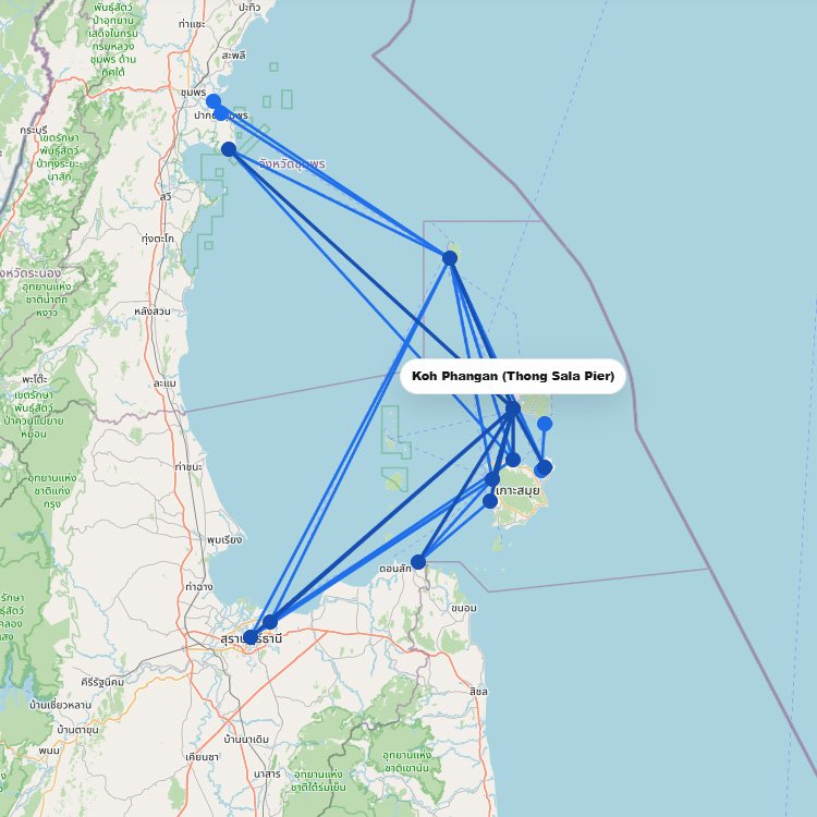
Ferries to Koh Phangan
Koh Phangan has no airport, so everyone arrives by boat, almost always at Thong Sala Pier. From Koh…
+2
Ferries to Koh Samui
Koh Samui is the hub of the Gulf of Thailand ferry network, with several piers that each serve…
No maps match this filter.