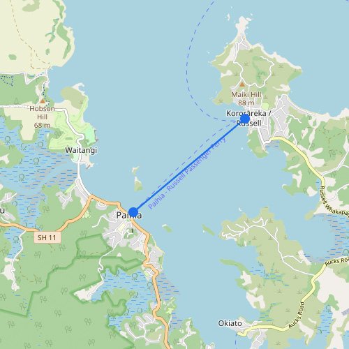
Destination
220
views · 30 days
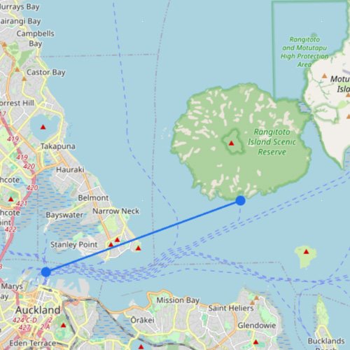
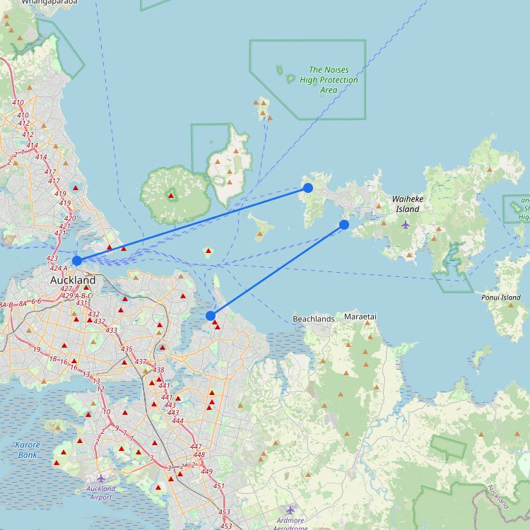
Ferry Map & Routes to Waiheke Island
Accessing this popular spot in New Zealand requires a 40-minute trip from downtown Auckland, primarily operated by Fullers360…
4
routes
6
connections
3
operators
Explore ferries to this destination