





Atlantic Canada Ferry Map
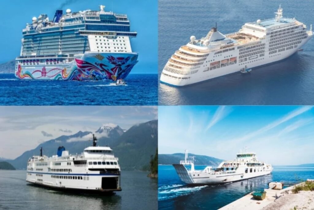
Atlantic Canadaโs ferry routes are closely tied to the North Atlantic. Ferries connect the maritime provinces to island communities, linking Nova Scotia with its neighbors and helping cover the distance to Newfoundland. As the map shows, this is a wide network of ocean-going vessels. The crossings are built for long trips and heavy commercial freight, along with travelers heading to remote places such as Pelee Island in the Gulf of St. Lawrence.
Explore ferry routes in Atlantic Canada
“
What you need to plan the trip to Newfoundland
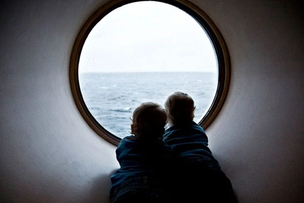
Crossing over to Newfoundland is a real change of pace. You leave the green hills of Nova Scotia behind and head into the open Atlantic on a ship that feels like a small city, one of the best ways to feel the isolation and the beauty of the island.
Pick the right port in Newfoundland
The map shows two ways to get to Newfoundland from Nova Scotia: the year-round crossing to Port aux Basques and the summer sailing to Argentia. Port aux Basques takes about 6 hours and lands you on the west side of the island. The Argentia ferry takes 16 hours, with arrival near St. Johnโs, the capital. If you choose the wrong port, you may end up adding a full day of driving, so line up your first stops with the side of the island youโll arrive on.
Expect North Atlantic weather
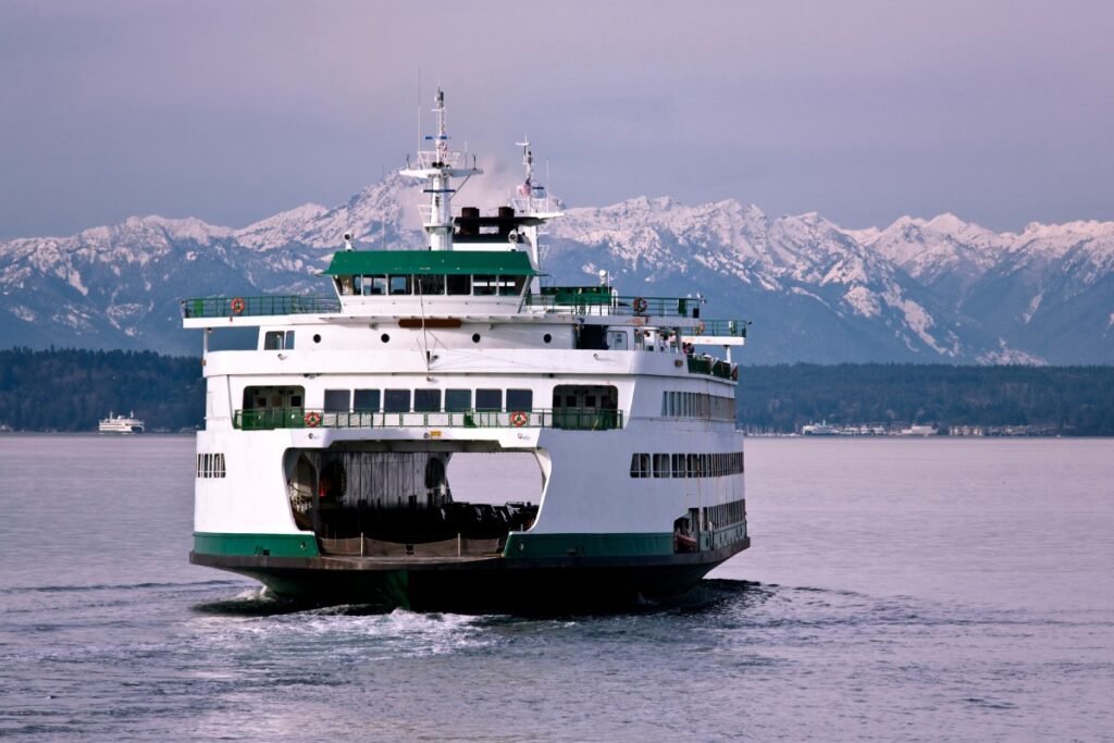
The Cabot Strait can bring fog and rougher conditions than most coastal routes. Unlike the calmer crossing-style trips in the Puget Sound, sailings here can be delayed or rescheduled because of high winds and sea state. Plan with a โbuffer dayโ on either side of your crossing, and keep a warm jacket within reach, once you clear the harbor, temperatures can drop fast.”
Read more
Explore more ferry regions worldwide
+12
Scandinavia Ferry Map
The interactive ferry map on this page primarily covers ferry routes across Scandinavia and the Baltic States, butโฆ
Ferries to Kefalonia
The main ferry routes to Kefalonia depart from the mainland port of Kyllini, taking just 90 minutes. Levanteโฆ
Ferries to Samos
Sitting a mere 1.2 kilometers off the Turkish coast, the twin ports of Vathy and Karlovasi process overโฆ
+5
Ferries to Corfu
As shown on the interactive map above, ferry routes to Corfu include a mix of longer international crossings,โฆ
Ferries to Sifnos
Seajets and Aegean Sea Lines are the primary operators serving the western Cyclades, transporting approximately 100,000 passengers annuallyโฆ
Ferries to Ikaria
Embrace the slow pace of the legendary Blue Zone by boarding a Blue Star Ferries ship out ofโฆ
No maps match this filter.




















