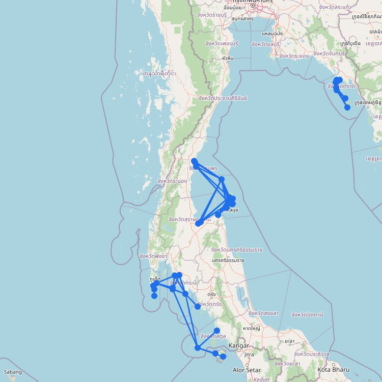
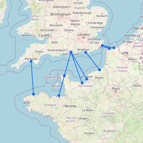
The Aegean Islands cover a large ferry area, with several separate island groups and long sea crossings. This is one of the more complex maps on FerryGoGo, and it matches the region well. There are many ferry routes between the Greek islands, and vessels may operate different routes depending on the time.
Schedules and routes can also change by month, so you may see small differences between the routes shown on the map and what runs at a given time. Below, you can find route overviews by destination.
The Aegean Islands map is easiest to use when you stop expecting one single network. The sea is organized around several island groups, longer crossings, and a few main transfer routes.
The Aegean is bigger than it seems: Your route options can look very different depending on whether you’re heading toward the Cyclades or the Dodecanese.
Some islands act like hubs: A few places handle much more traffic than others, so direct connections don’t spread evenly across the map.
Distance matters for how routes work: There are short hops, but many crossings are long enough that transfers still play a major role.
One useful takeaway: This is where you see how the Greek island world opens up east of the mainland, but it’s usually not the best page for planning exact island-to-island legs.