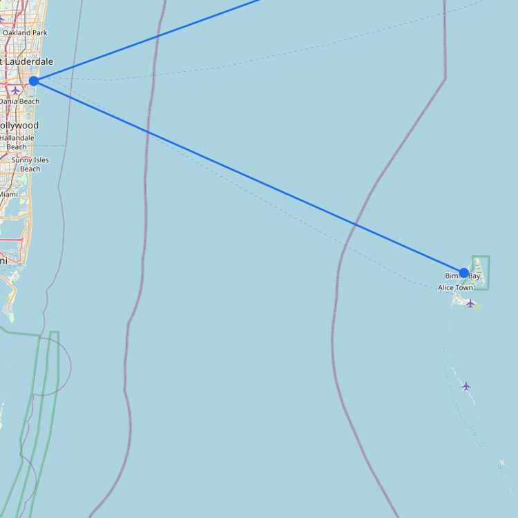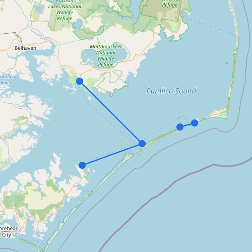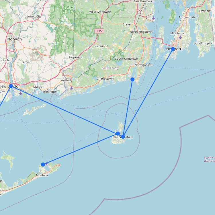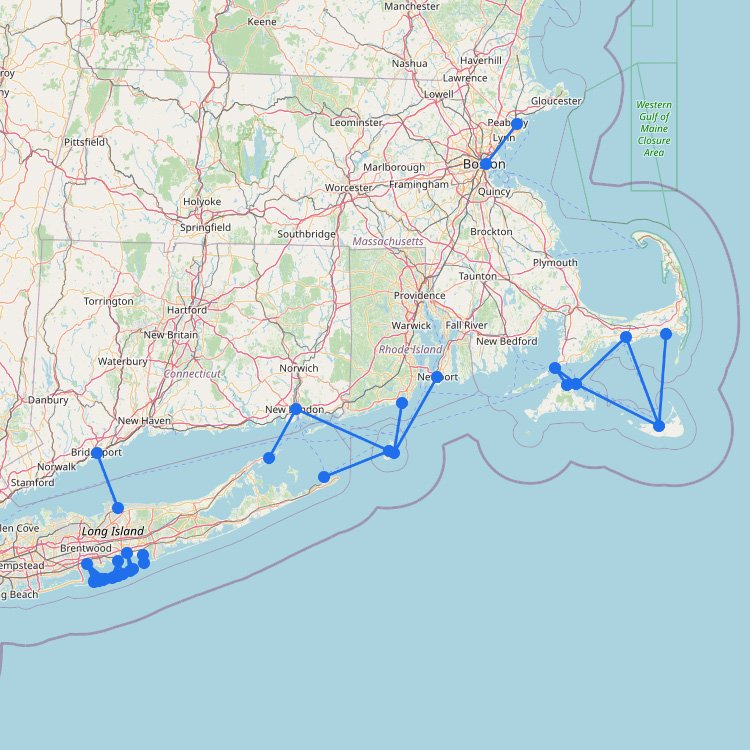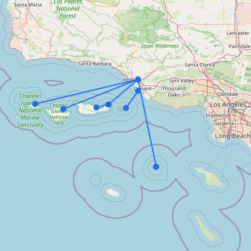
Destination
18K
views · 30 days
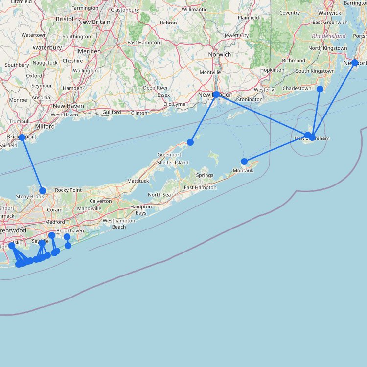
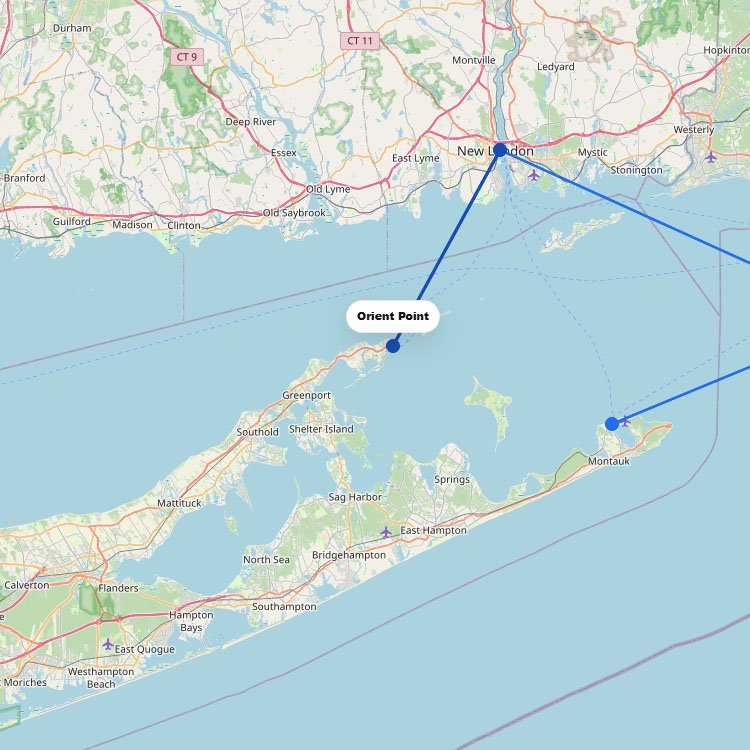
Orient Point ferry
To travel between Long Island (Orient Point) and New London, Connecticut, you can use the Cross Sound Ferry…
1
route
2
connections
1
operator
Explore ferries to this destination