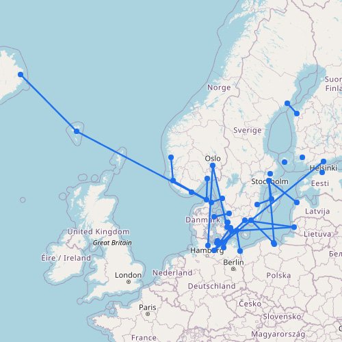
The Mediterranean isn’t one single ferry network, but a set of separate ferry regions. It includes island groups, mainland crossings, and longer sea routes in the same general area. Use this page to start with regions such as the Balearic Islands and the Greek islands.
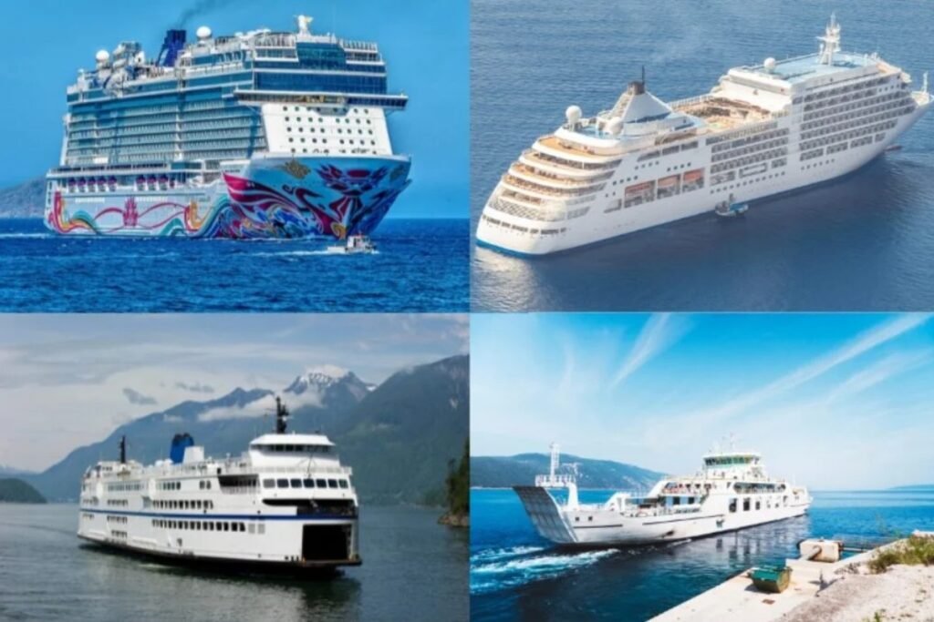
On the map, the Mediterranean can look like one ferry network. In real life, it’s several different sea areas connected unevenly. A short island hop in one region can turn into a longer overnight crossing in another, often with cabins and car capacity.
Before you follow the routes on the map, keep these two points in mind:
Don’t treat the whole region as one simple network. The western Mediterranean, the Greek islands, and the long North Africa links run on very different schedules, use different types of vessels, and are planned in different ways.
Some ports that look central on the map matter more than you’d expect. Start by planning around the main hubs, then build outward to smaller islands and secondary crossings.