
Ferry region
Recently updated
1.1K
views · 30 days



 +17
Thailand Ferry Map
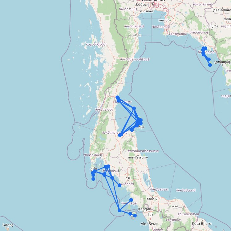
Thailand’s ferry map quickly shows why the country is such a strong island-hopping destination. The network is split…
54
routes
36
ports
21
operators
Explore this ferry region
Ferry region
700
views · 30 days



 +12
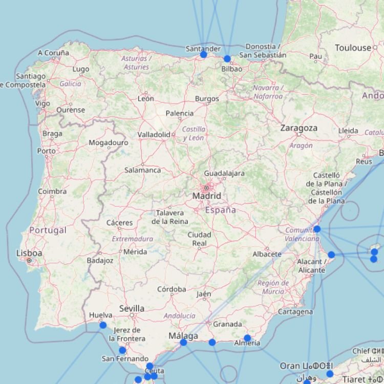
Spain Ferry Map
Spain’s ferry network is best understood as several separate travel corridors rather than one national system. Mainland ports…
54
routes
50
ports
16
operators
Explore this ferry region
Destination
560
views · 30 days

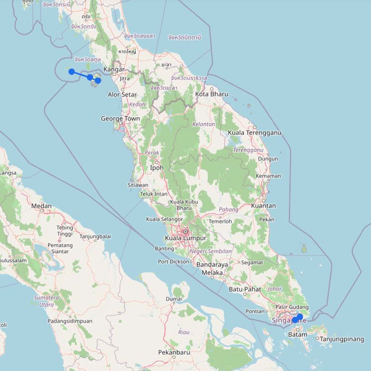
Ferries to Malaysia
Malaysia’s international ferry network consists of several separate regional corridors. Ferries connect the country with Thailand, Indonesia and…
5
routes
5
connections
3
operators
Explore ferries to this destination
Destination
Recently updated
↗
420
views · 30 days
 Sea Crest Ferry
+1
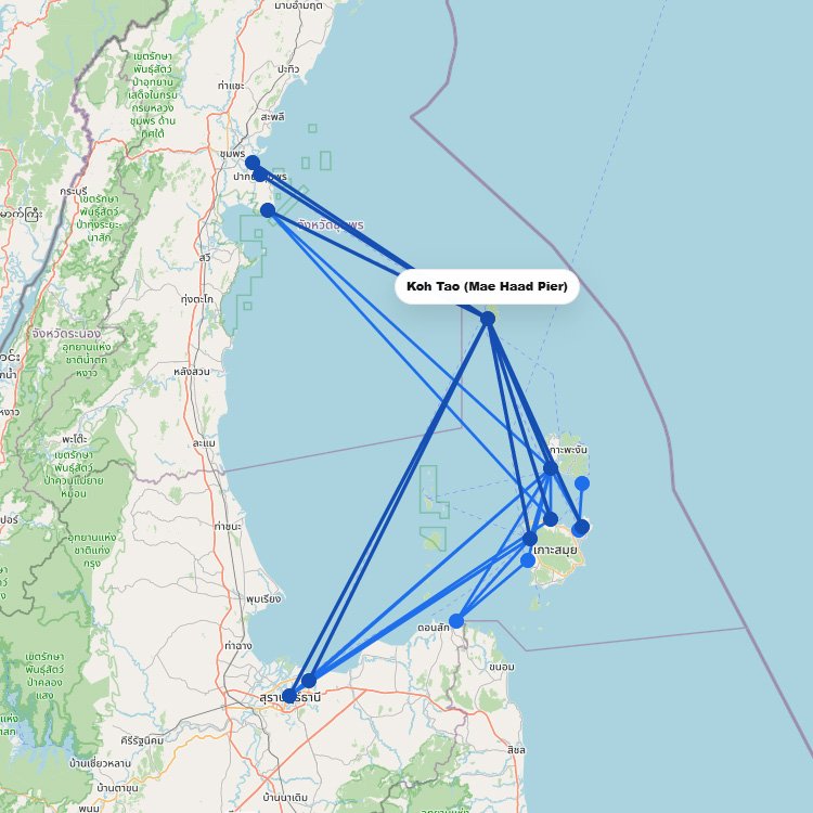
Ferries to Koh Tao
Koh Tao has no airport, so every visitor arrives by boat at Mae Haad Pier. From the mainland,…
14
routes
11
connections
5
operators
Explore ferries to this destination
Destination
Recently updated
340
views · 30 days
 +3
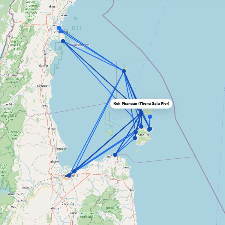
Ferries to Koh Phangan
Koh Phangan has no airport, so everyone arrives by boat, almost always at Thong Sala Pier. From Koh…
13
routes
12
connections
7
operators
Explore ferries to this destination
Destination
Recently updated
↗
200
views · 30 days
+2
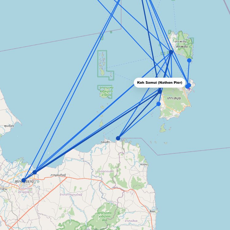
Ferries to Koh Samui
Koh Samui is the hub of the Gulf of Thailand ferry network, with several piers that each serve…
19
routes
12
connections
6
operators
Explore ferries to this destination
No maps match this filter.