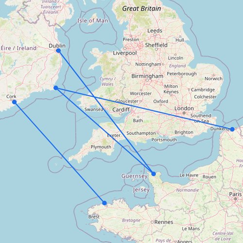
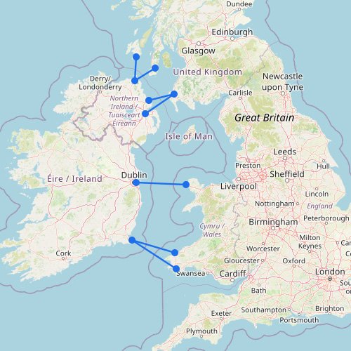
The Celtic Sea sits between southern Ireland, southwest England, and northwest France. Compared with the Irish Sea, ferry routes here are fewer but cover longer distances, often linking ports like Rosslare, Cork (Ringaskiddy), and Pembroke Dock with Cherbourg, Roscoff, and Santander. These crossings are typically overnight or long day sailings rather than short hops. Instead of frequent departures, the focus is on planning around fixed schedules, with routes often running once per day or a few times per week depending on the season. This page shows how these longer connections fit together across the Celtic Sea.
The Celtic Sea can look “wide open” on the map, and that’s the point. Fewer routes run longer distances, with more exposed water, so planning is often about timing rather than having lots of options.
Before you follow the routes across the Celtic Sea, note these two things:
Compared with the Irish Sea, Celtic Sea crossings are usually less frequent and farther apart, so missing a sailing can affect your whole trip more.
Because the links involve longer stretches of open water, weather and seasonal demand can disrupt services more easily than on shorter, more regular ferry corridors.