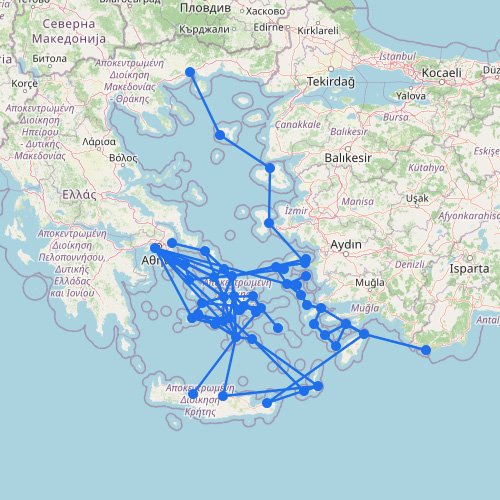
The Saronic Islands are close to Athens, so this is one of Greece’s shortest and simplest ferry networks. Most sailings focus on quick passenger trips rather than long sea crossings. Compared with the Cyclades, the network is smaller and more direct.
The Saronic Islands are one of the easiest ferry areas to follow. The map stays fairly compact because the islands are close to Athens and to each other.
Short crossings matter: That’s why islands like Aegina, Agistri, Hydra, Poros, and Spetses often feel like quick ferry stops rather than far-off trips.
It’s not one long chain: Compared with the Cyclades, the route pattern is tighter and easier to track.
More frequent service helps: Short stays and day-trip plans work well here because the sea distances are smaller.
A simple way to read it: Start at Athens on the map and read outward. You’re not meant to jump island-to-island along a chain.