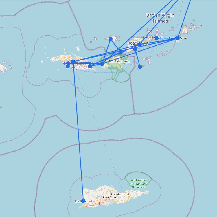
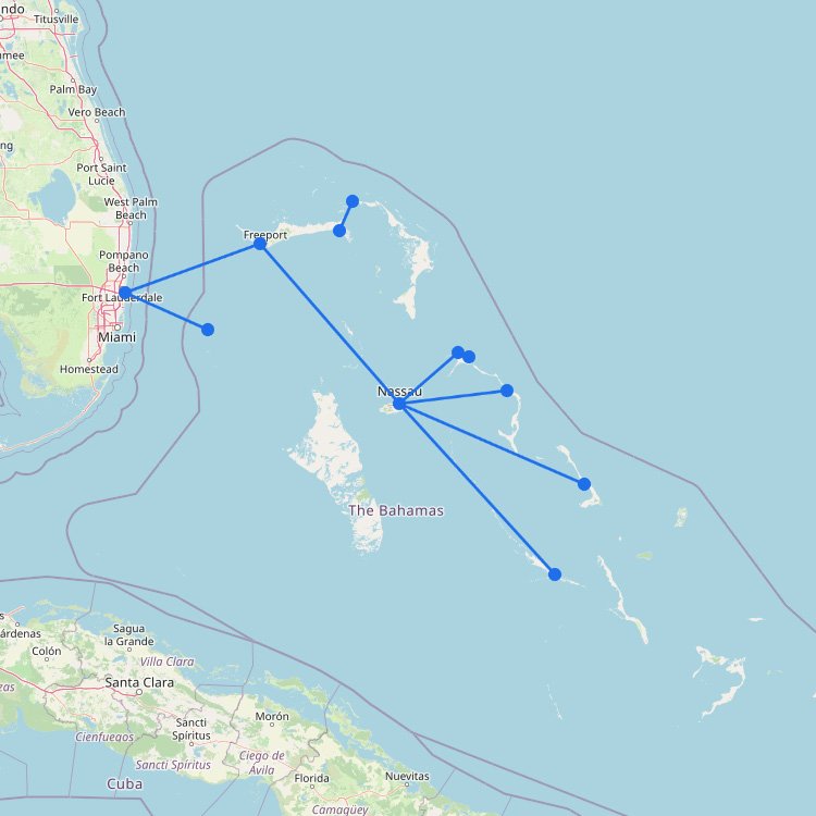
Most ferry routes in the British Virgin Islands (BVI) run between Tortola, Virgin Gorda, Jost Van Dyke, and Anegada. West End and Road Town (both on Tortola) are the main ferry hubs. Some routes stop in Virgin Gorda before continuing to Anegada.
Ferry schedules within the BVI can be irregular and a bit hard to follow. You may need to check departure times and operators carefully. Our route map can help you get started. If you still can’t find what you need, private charters are sometimes an option.
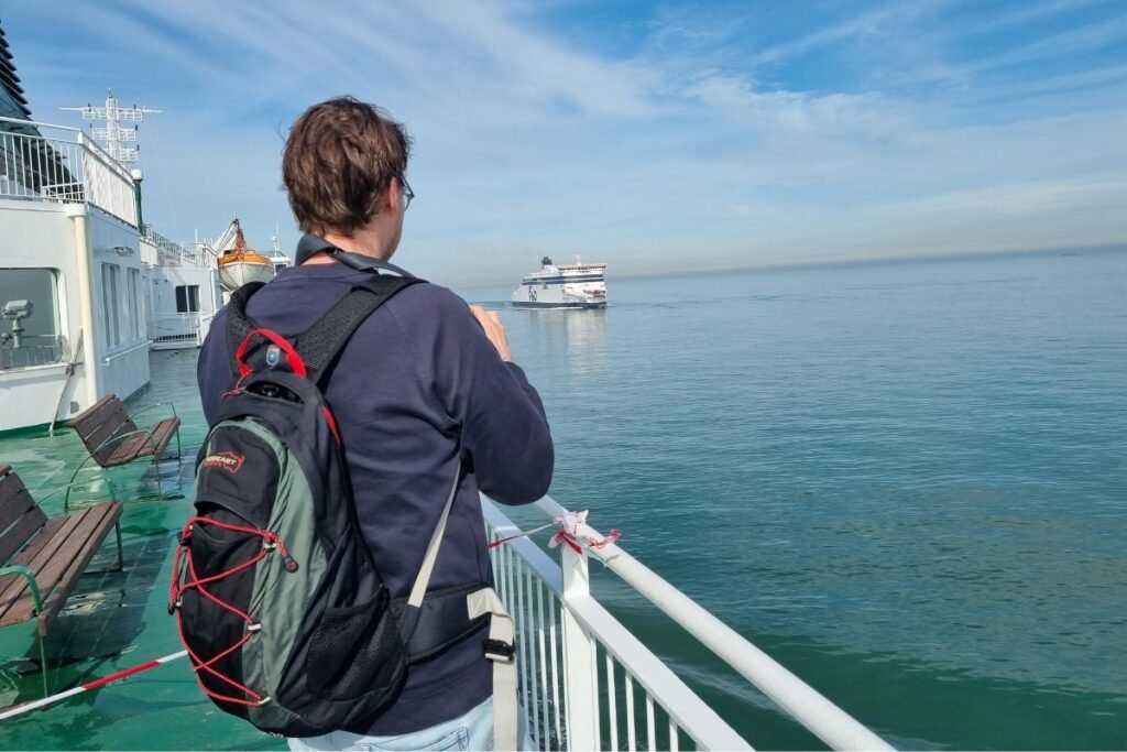
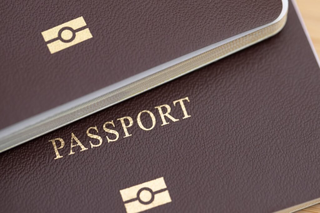
You can also travel between the BVI and the US Virgin Islands by ferry. Plan for customs, arrive early for check-in, and bring valid travel documents.
Tips for the British Virgin Islands
Before you go, keep these practical points in mind:
Timetables can change: Ferry departures may shift through the week, so check the latest schedule at the main terminal in Road Town.
Allow some extra time: Weather, demand, and operator decisions can affect departures. Book ahead, arrive early, and confirm your ride if you can.
Customs and border checks: If you’re coming from the US Virgin Islands, you’ll need to clear customs at West End or Road Town, which can add time.
Plan for basic conditions: Some ferries have luggage limits, fewer onboard facilities, and extra port or departure fees that may not be included in your ticket.
Getting around the BVI is about rolling with the day. One day you might be on a fast catamaran to Virgin Gorda, and the next on a smaller boat to Jost Van Dyke. Great for seeing the islands, but schedules can change.