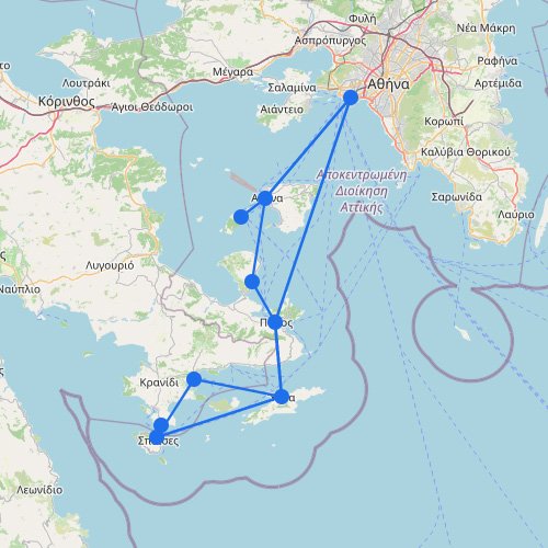
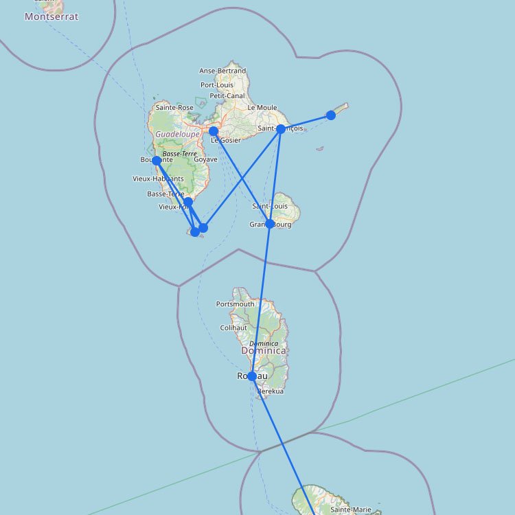
The map above shows that the Adriatic ferry network doesn’t really operate as one single system. It’s better understood as a chain of coastal and international routes. Most crossings run between Italy and the eastern shore, especially towards Croatia and Albania, with some longer overnight services connecting to Greece. Compared with the Aegean, ferry travel here is less about island hopping and more about longer crossings, cars, and strong seasonal peaks.
How Adriatic ferries usually work
The map above shows that ferry routes in the Adriatic mostly connect Italy with the eastern coast. It’s not one continuous network like in Greece. Instead, you’ll typically see direct sailings between specific ports, especially for Croatia and Albania.
Most sailings leave from Italy: Ancona, Bari, and Brindisi are common departure ports. From there, ferries go to places like Split, Dubrovnik, and Durrës.
Plan for longer crossings: Many routes take about 6 to 12 hours and often run overnight. A cabin is usually worth it on these trips, especially in peak season.
Fewer options per route: You generally won’t get multiple ferries each day. Some routes run only a few times per week, so check timetables before you plan.
Summer vs. off-season changes a lot: In summer there are more sailings and sometimes extra connections. Outside the season, routes drop quickly and some departures aren’t available.
Give yourself time to check in: For ferries to Croatia or Albania, you’ll go through passport control. Arrive at least 1 to 2 hours early, especially if you’re traveling with a car.