Ferry region
1.3K
views · 30 days
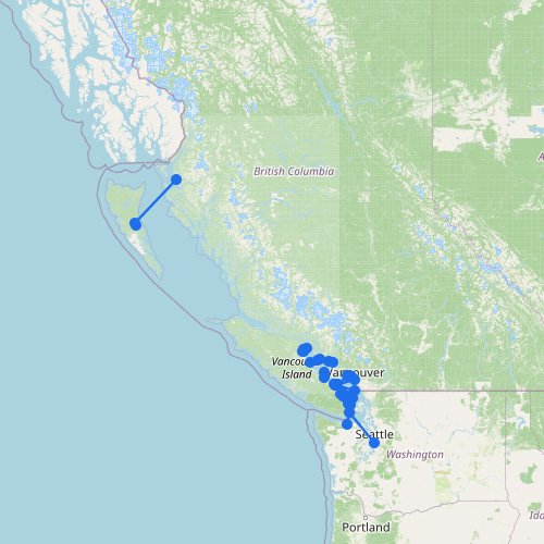
British Columbia Ferry Map
The map above shows why British Columbia has one of the most important ferry systems in North America.…
22
routes
40
ports
6
operators
Explore this ferry region
Destination
Recently updated
1K
views · 30 days
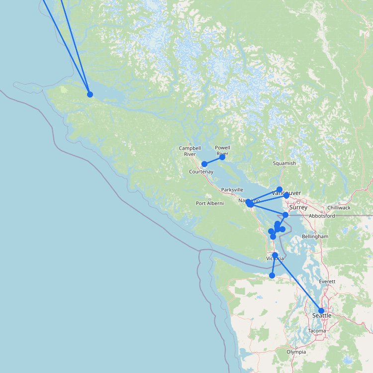
Vancouver to Victoria
To reach Victoria in British Columbia, you must board the BC Ferries fleet from the Tsawwassen or Horseshoe…
19
routes
38
connections
5
operators
Explore ferries to this destination
Ferry region
1K
views · 30 days
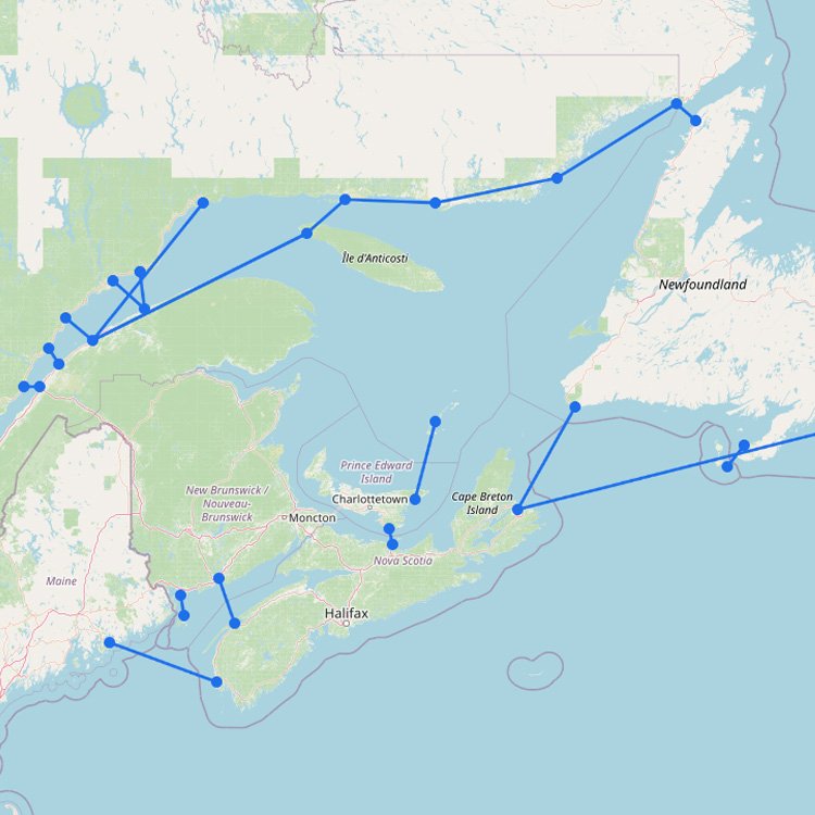
Atlantic Canada Ferry Map
Atlantic Canada’s ferry routes are closely tied to the North Atlantic. Ferries connect the maritime provinces to island…
17
routes
31
ports
13
operators
Explore this ferry region
Ferry region
970
views · 30 days
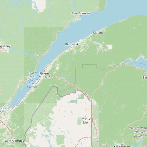
St Lawrence and Quebec Ferry Map
The map above shows how the ferry network around St Lawrence and Quebec is shaped by one of…
1
route
2
ports
1
operator
Explore this ferry region
Destination
740
views · 30 days
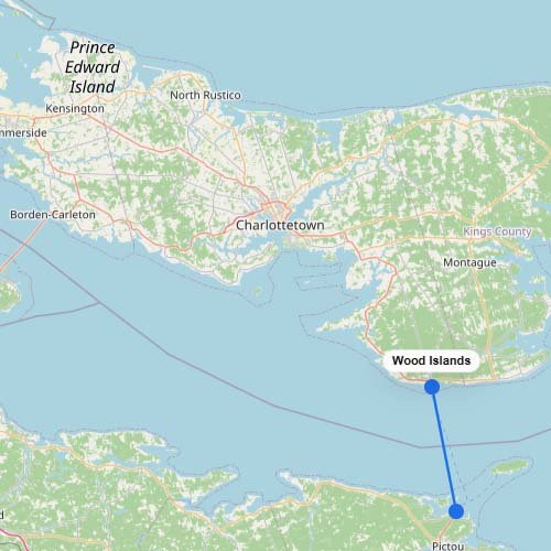
Ferries to Prince Edward Island
To reach Prince Edward Island by water, you take the Northumberland Ferries (NFL) vessel across the strait from…
1
route
1
connection
1
operator
Explore ferries to this destination
Ferry region
↗
270
views · 30 days

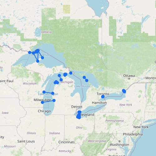
Great Lakes Ferry Map
As the map above shows, the Great Lakes ferry network is built around practical shortcuts, island access, and…
26
routes
46
ports
15
operators
Explore this ferry region
No maps match this filter.