As the map above shows, the Great Lakes ferry network is built around practical shortcuts, island access, and a few key crossings that remain essential because the water creates a clear barrier. Some routes feel local and seasonal, while others function as regular links for vehicles, freight, and regional travel.
In the Canadian part of the system, ferries connect places such as Pelee Island and other shoreline communities that would be much harder to reach without them. Unlike coastal crossings shaped by tides and ocean swell, these freshwater routes are shaped more by distance, wind exposure, ice, and the strong seasonal rhythm of the inland lake system.
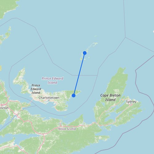
Explore more ferry crossings around the Great Lakes
These routes can look straightforward on a map, but the lakes set their own limits, especially when you start comparing options.
Season sets the schedule: Some ferries run as summer links, but have limited service, or none, outside the warmer months.
Island trips aren’t the same as straight crossings: A ferry to Pelee Island is a different kind of trip than a longer route across the lake.
Wind can change everything: Without ocean tides or swell, open-water crossings can still get rough quickly, often hitting smaller or faster vessels first.
One missed sailing can mean a long wait: On lower-frequency routes, the next departure may be hours later, or the next day, so timing matters more than the map suggests.