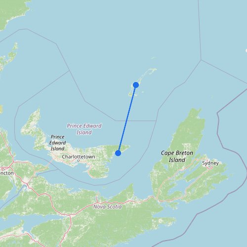
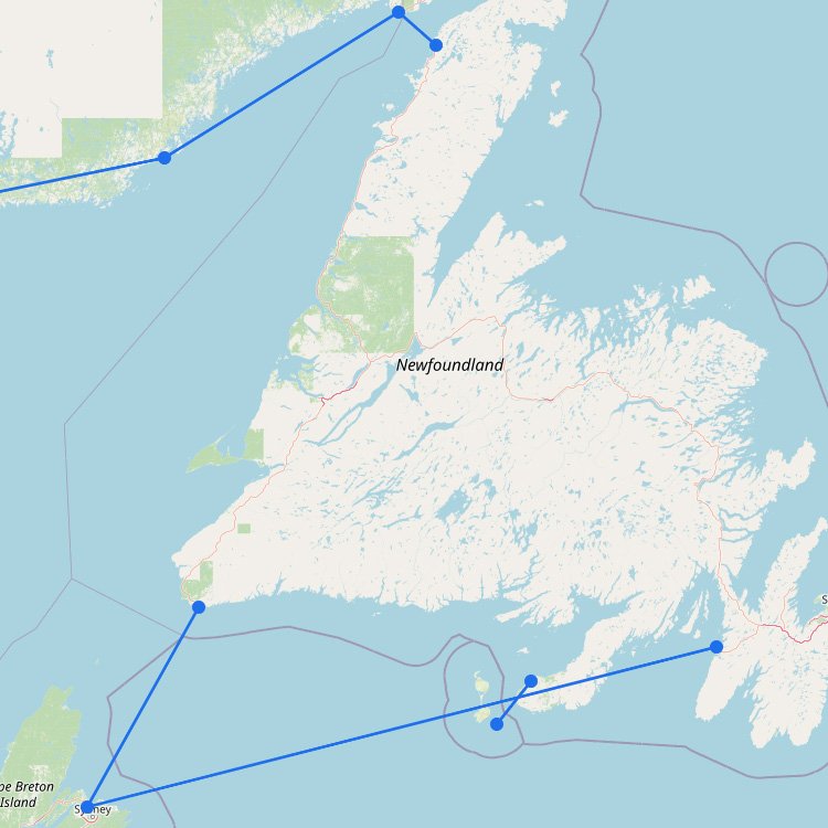
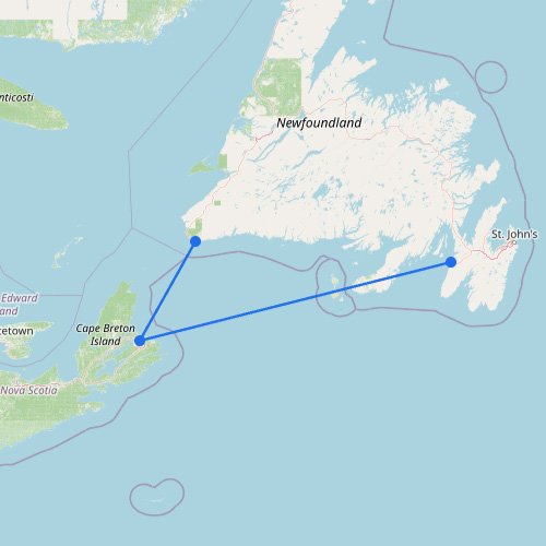
The map above shows how the ferry network around St Lawrence and Quebec is shaped by one of the largest river and estuary systems in the world. Here, ferries do more than connect islands—they carry vehicles across wide river crossings, link remote shores, and help drivers avoid long inland detours where bridges are limited or absent. As the waterway widens toward the Gulf, the routes feel less like a river network and more like a coastal corridor heading east, toward places such as Newfoundland and Nova Scotia. Compared with the compact commuter-style ferries in some cities, this region is broader, slower, and more dependent on geography than on city traffic.
Reading ferry routes around the St. Lawrence and Quebec
This map works best once you stop thinking only in terms of islands and start paying attention to where the water interrupts the road network.
Some ferries replace long detours: In this region, many crossings feel like part of the road system, not an optional side trip.
River width changes how you plan: Short links upstream work differently from the wider estuary crossings farther east, toward Nova Scotia and Newfoundland.
How often a route runs varies by location: Around larger population centers, services can seem routine; farther out, crossings are fewer and more important.
Look for the real time-savers: The best crossings often cut road time the most, not necessarily the ones that look biggest on the water.