
Home » Destinations » Koh Samui
Ferries to Koh Samui
Reaching this major hub in Thailand involves using the Raja Ferry for vehicle transport or the Lomprayah high-speed fleet for rapid passenger transit from the mainland. As the primary logistical link in the Gulf, the island’s multiple piers connect travelers to Koh Phangan and the world-class diving sites of the north. As indicated on our coastal ferry map, choosing the correct pier – Nathon, Lipa Noi, or Maenam – is essential to minimize your land travel time once you disembark.
Getting to Koh Samui from the mainland
Showing all 25 services






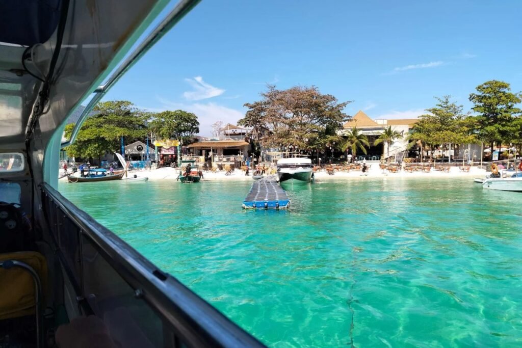







Samui archipelago: Multi-pier entry guide
Ko Samui is the transit hub of the Gulf, processing over 2.5 million visitors. Unlike other islands, it has four major pier zones. Arriving at the wrong one can cost you 800 THB in taxi fares.
| Pier Zone | Primary Operator | Logistics Score |
|---|---|---|
| Nathon Pier (West Coast) |
Lomprayah, Seatran Ferry | The Commercial Hub: Main port for car ferries from the mainland (Donsak). Far from Chaweng (45 mins). Best for budget travelers. |
| Bangrak / Big Buddha (North East) |
Seatran Discovery, Haad Rin Queen | Airport Link: Closest pier to the airport (10 mins) and Chaweng. Ideal for hopping to Ko Phangan. |
| Pralarn / Maenam (North Coast) |
Lomprayah (High Speed) | Speed Hub: The dedicated Lomprayah pier. High-speed catamarans to Tao and Chumphon depart here. efficient but isolated. |
Visitor Volume & Mode Comparison
- Air vs. Sea: Bangkok Airways owns the airport and keeps prices high ($150+ one way). Ferries from Surat Thani (Donsak) cost $10 but take 4 hours (bus + boat).
- Volume: Ferries handle the heavy logistics (trucks/fuel), while the airport handles high-value tourists.
Read more
Discover more ferry regions across the world
Ferries to Malaysia
Malaysia’s international ferry network consists of several separate regional corridors. Ferries connect the country with Thailand, Indonesia and…
+8
Adriatic Sea Ferry Map
The map above shows the Adriatic as a series of distinct ferry corridors rather than one continuous network.…

Ferry Routes to Newfoundland
The main ferries from Nova Scotia to Newfoundland depart from North Sydney. Marine Atlantic operates a year-round crossing…
+12
Spain Ferry Map
Spain’s ferry network is best understood as several separate travel corridors rather than one national system. Mainland ports…

Ferry to Bahrain
Skip the border traffic entirely. You can cross the Gulf on Masar Group’s passenger-only fast ferry coming straight…

Canary Islands Ferry Map
The Canary Islands ferry map shows a network built around several main hubs rather than direct routes between…
No maps match this filter.

















