





Mexico Ferry Map
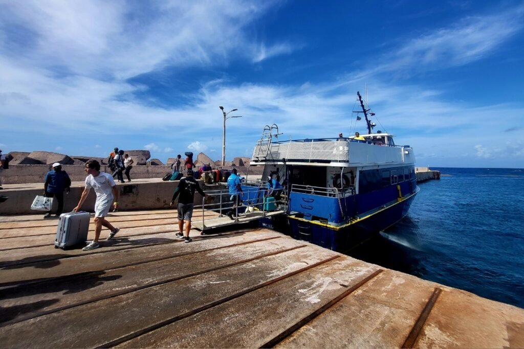
The ferry system in Mexico is mainly split into two regions: the Caribbean routes off the Yucatรกn Peninsula and the long-distance crossings across the Sea of Cortez. In the east, frequent passenger catamarans connect the mainland with ports such as Cozumel and Isla Mujeres. In the west, the service is more industrial, with larger vessels running between Baja California Sur and the Mexican mainland. With different operators and additional requirements for foreign vehicles, arriving at these docks usually takes more paperwork than a typical domestic crossing in the north.
Before you board: quick ferry tips for Mexico
Before you head to the pier, keep these points in mind so you donโt get stuck or pay extra at the last minute.
- For the quickest, most frequent rides to Isla Mujeres, skip the hotel zone docks and go straight to the Puerto Juรกrez terminal.
- If youโre bringing a vehicle from Baja to the mainland, you need a Temporary Import Permit in hand before you can buy your ferry ticket.
- For Cozumel, Ultramar and Winjet often trade off departures, so itโs usually easier to buy at the pier for the next boat.
- All ferries across the Sea of Cortez leave from Pichilingue, just north of downtown La Paz.
- Choose Baja Ferries for a more comfortable passenger ride, or TMC if you want a simpler, more cargo-style trip.
- Some Caribbean passenger ferries collect a small port fee or tourist tax at the gate, which often isnโt included in your ticket price.
- Bring a jacket. Cabin air conditioning on many ferries runs very cold, even when itโs hot outside.
Read more
Explore more ferry regions worldwide
English Channel Ferry Map
The English Channel is one of Europeโs most practical ferry regions: short crossings, busy ports and routes builtโฆ
+1
Vancouver to Victoria
To reach Victoria in British Columbia, you must board the BC Ferries fleet from the Tsawwassen or Horseshoeโฆ
Ferry Map & Routes to Nova Scotia
To reach this province in Atlantic Canada, you typically arrive via high-speed ferry from Maine or year-round serviceโฆ
Ferries to Pelee Island: Route Map
Reaching Canadaโs southernmost inhabited point in the Great Lakes requires using the Owen Sound Transportation Company, with departuresโฆ
Ferries to Prince Edward Island
To reach Prince Edward Island by water, you take the Northumberland Ferries (NFL) vessel across the strait fromโฆ
Map of Ferries to Salt Spring Island
To reach Salt Spring Island, you take a BC Ferries vessel from either the Tsawwassen mainland terminal orโฆ
No maps match this filter.




















