
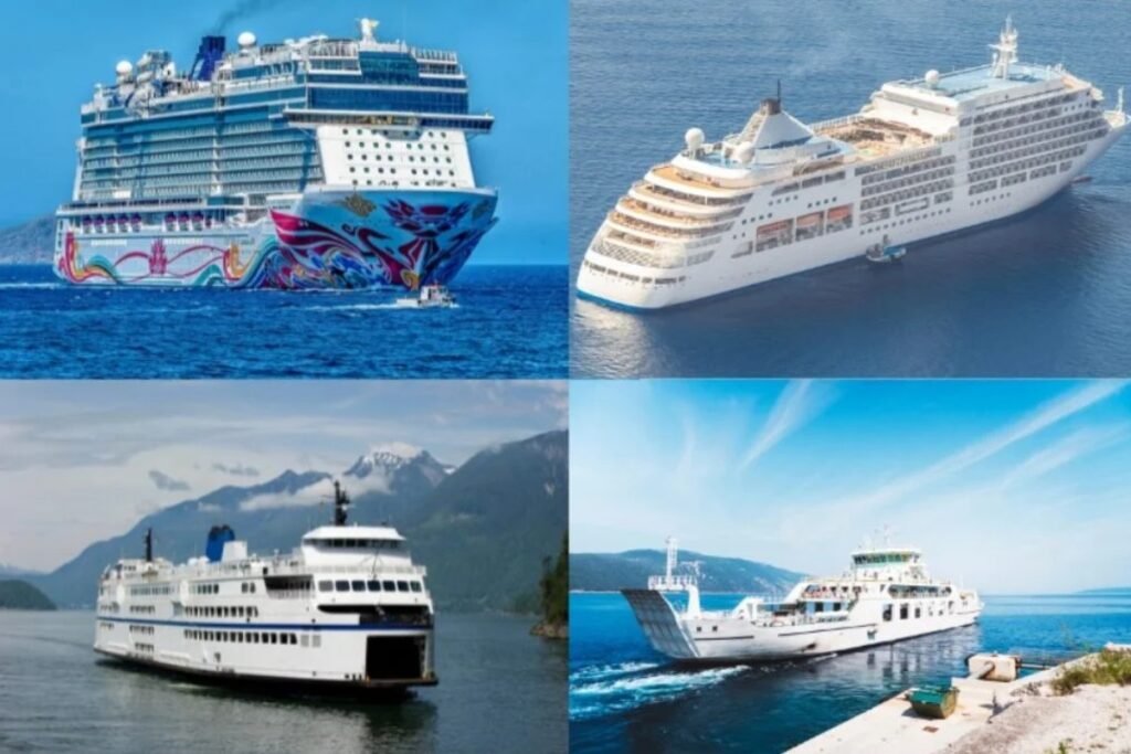





Northeast Ferry Map
The map above shows how the ferry network in the Northeast helps ease congestion along the I-95 corridor, especially in summer. These routes connect major mainland ports in New York, Connecticut, and Massachusetts with offshore communities. Because these waters are among the busiest in the world, service runs at high speed and high frequency, and boarding has to follow posted windows to keep the overall schedule on track.
Travel by ferry across the Northeast
What dock lines and seasonal crowds look like in the Northeast
Before you head out on a coastal crossing here, plan for a few common problems at the dock so you’re not stuck waiting or scrambling at the last minute:
- The Cross Sound shortcut: To avoid New York City traffic, many drivers take the ferry to Orient Point from New London. It’s a popular vehicle route. If you don’t have a reservation Friday afternoon, expect to wait through multiple sailings in the standby lot while reserved cars board first.
- Steamship Authority rules for the islands: When driving to Martha’s Vineyard or Nantucket, the car system is tightly controlled and often sells out months ahead. Many people save both time and money by leaving their cars on the mainland and taking the passenger-only fast ferries to the islands.
- Block Island can be rough: The ferry to Block Island crosses open water that often gets choppy. The slower ferry is usually steadier than the high-speed catamaran. If there’s a small-craft advisory, the larger boat is the safer bet for anyone who gets motion sick.
- Fire Island is passenger-only: Ferries to Fire Island don’t take cars. You’ll be expected to pull or haul your gear from the dock to your house (often with a wagon). Pack light—dock space for oversized luggage can be limited on smaller vessels.
- Smaller routes act more like day trips: Routes like the boat to Salem or to Fort Sumter tend to run out of historic downtown docks, not big industrial terminals. On travel day, finding mainland parking is usually the hardest part.
Read more
Explore more ferry regions worldwide
+12
Scandinavia Ferry Map
The interactive ferry map on this page primarily covers ferry routes across Scandinavia and the Baltic States, but…
Ferries to Samos
Sitting a mere 1.2 kilometers off the Turkish coast, the twin ports of Vathy and Karlovasi process over…
Ferries to Ikaria
Embrace the slow pace of the legendary Blue Zone by boarding a Blue Star Ferries ship out of…
+5
Ferries to Corfu
As shown on the interactive map above, ferry routes to Corfu include a mix of longer international crossings,…
Ferries to Kefalonia
The main ferry routes to Kefalonia depart from the mainland port of Kyllini, taking just 90 minutes. Levante…
Ferries to Sifnos
Seajets and Aegean Sea Lines are the primary operators serving the western Cyclades, transporting approximately 100,000 passengers annually…
No maps match this filter.




















