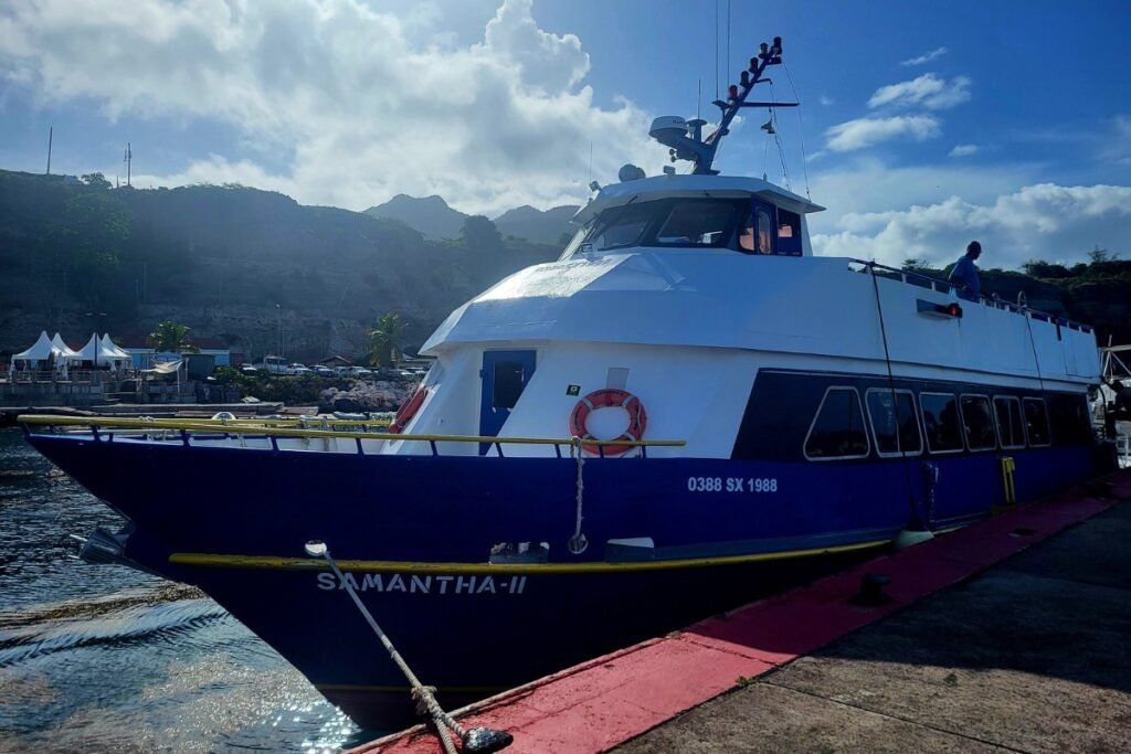
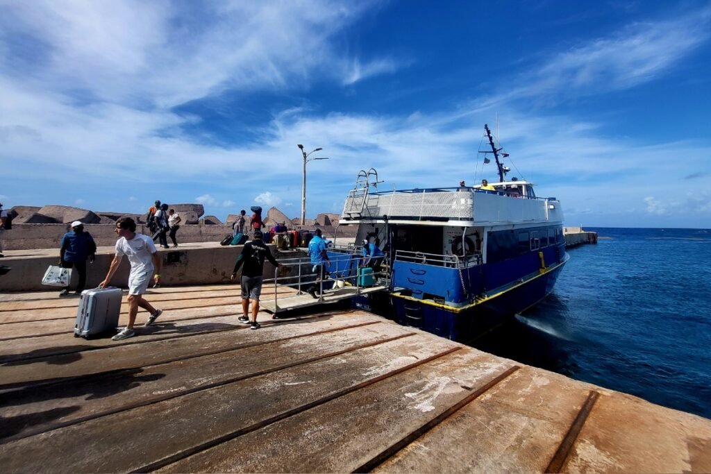
The Caribbean is one of the most visited regions in the world, and millions of travelers visit its islands each year. Ferries help connect nearby islands. Many crossings are short and practical (often under an hour), while others link larger islands over longer distances.
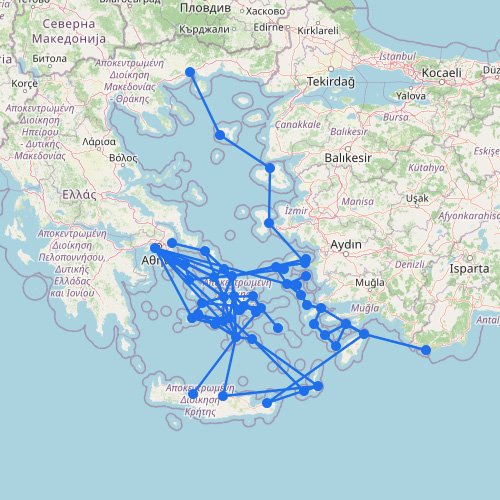
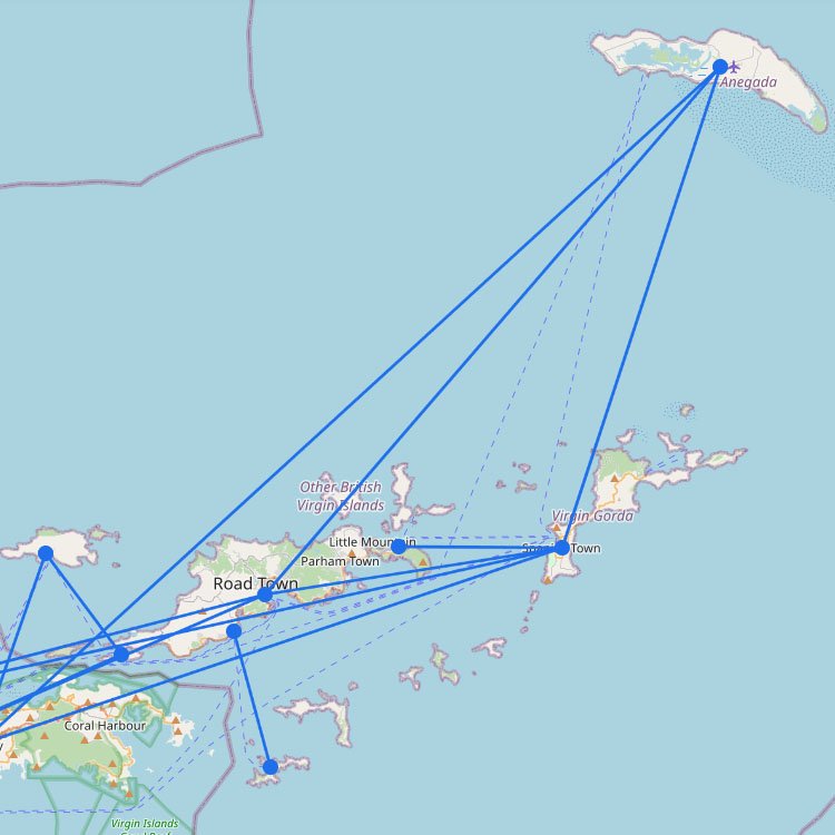
To give you a clear overview, we’ve mapped out ferry routes across the Caribbean. The map shows how islands are connected, but it also corrects a common misconception: you can’t easily ferry across the entire Caribbean. Routes are grouped around regional hubs. The most reliable and frequent connections are around Saint Martin, Guadeloupe, and the US Virgin Islands and British Virgin Islands.
Before you plan a multi-island route in the Caribbean, check these three realities:
Crossing borders by boat: Even a short hop like Anguilla or a day trip such as Saint Barth is treated as an international crossing. You’ll need a physical passport, and you’ll likely pay a “departure tax” or “port fee” that isn’t included in your ticket. These charges are usually cash-only, so bring a small amount of U.S. dollars or Euros for the port.
The French Antilles connection: The most dependable long-distance ferry route is the Express des Îles, linking Guadeloupe, Dominica, Martinique, and St. Lucia. These are large catamarans, but they still run across open water. Sea conditions can get rough, and when the swell is too high, the service can stop for up to 24 hours. So you may end up waiting on an island longer than planned.
Big gaps in the network: Look at the map closely. Many major islands don’t have ports or regular routes. There are currently no reliable ferries to Barbados, Aruba, or between the southern and northern Caribbean chains. If your destination isn’t part of a hub, like the Virgin Islands or the St. Kitts and Nevis link, you’ll likely need to fly instead of sail.