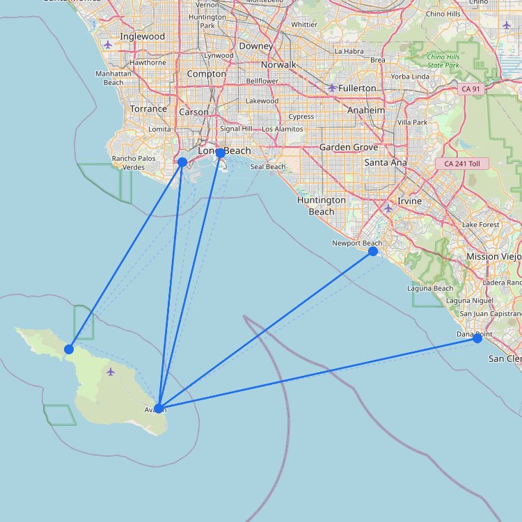
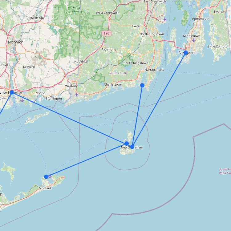
The map of Boston shows how the harbor ferry system links the historic downtown waterfront with East Boston, the Seaport area, and the North Shore coastal towns. From Long Wharf, high-speed ferries provide a quick way to reach Salem and Provincetown, helping cut down travel time compared with driving along the congested I-93 corridor. In Boston, ferry service is often seasonal, with many routes expanding during the summer to reach the Harbor Islands and sites such as Fort Sumter-style fortifications.
In October, the ferry to Salem can be the easiest way to get out. When roads are jammed, you’re crossing the harbor with skyline views and reaching the historic district in under an hour.
Before you use the map to plan your ride from Long Wharf or Rowes Wharf, keep these two tips in mind:
If you’re taking the high-speed ferry to Martha’s Vineyard or Provincetown, book online ahead of time. These passenger-only boats often sell out days before departure during the 2026 summer season.
Many inner-harbor commuter ferries accept the “CharlieCard” (the MBTA subway pass), which can be the cheapest way to get from the airport to downtown via the MBTA Blue Line and the water shuttle.