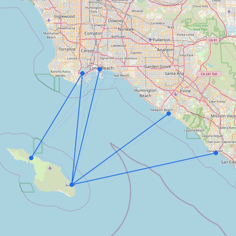
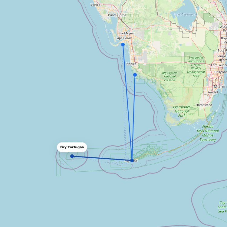
On this route map, the Channel Islands stand out as a small but exposed ferry region off the California coast. The crossings look short, but they depend on sea conditions, access to the harbors, and seasonal demand. In practice, these routes focus on reaching the islands just offshore, including Catalina and nearby coastal departure points.
The crossings can look short on the map, but this area is exposed to weather more than much of the U.S. coast.
Short route, open water: What seems like an easy ride on the map can turn choppy when wind and swell build once you’re out of the harbor.
Not every island is served the same way: Catalina trips often feel closer to regular passenger routes, while other island runs are more limited.
Your departure port matters: Southern California sailings may leave from different terminals, so the right harbor is part of the plan.
One helpful way to read the map: The islands look close to the mainland, but they’re less connected than the more sheltered ferry areas farther north around California bay routes.