Destination
1.3K
views · 30 days
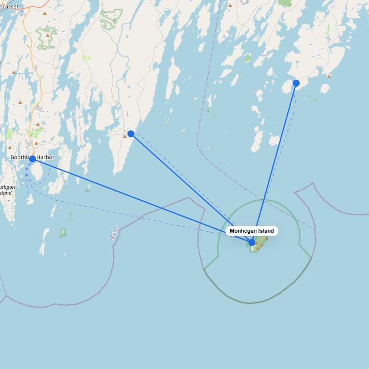
Ferry Routes to Monhegan Island
Ferries to Monhegan Island operate from three mainland ports in Maine: Port Clyde, New Harbor, and Boothbay Harbor.…
3
routes
3
connections
3
operators
Explore ferries to this destination
Destination
950
views · 30 days

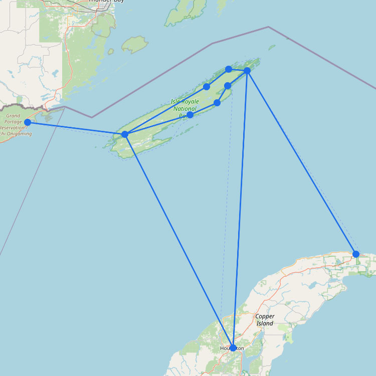
Map of Ferries to Isle Royale
Ferry routes to Isle Royale cross the massive, cold waters of Lake Superior from mainland ports like Houghton,…
4
routes
10
connections
3
operators
Explore ferries to this destination
Ferry region
670
views · 30 days
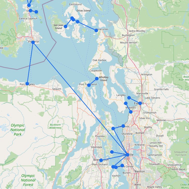
Puget Sound Ferry Map
The Puget Sound region has one of the best-known ferry fleets in the United States. As the map…
12
routes
21
ports
5
operators
Explore this ferry region
Destination
560
views · 30 days
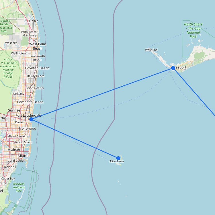
Ferries to the Bahamas
Ferries to the Bahamas from Florida operate on two key routes. Thanks to high-speed ferries operated by Balearia…
2
routes
2
connections
1
operator
Explore ferries to this destination
Ferry region
↗
400
views · 30 days
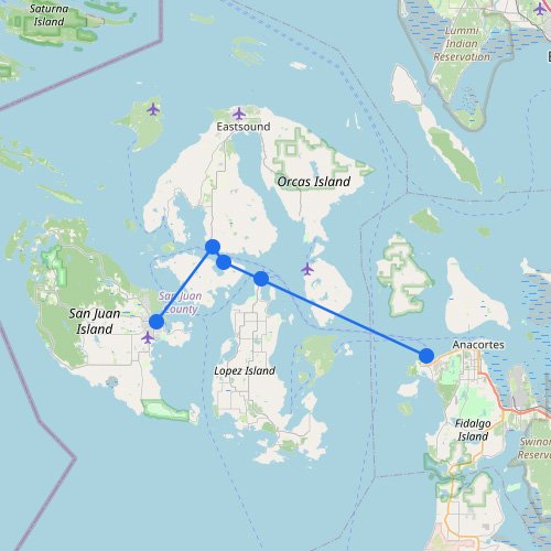
San Juan Islands Ferry Map
The San Juan Islands are connected by short ferry routes between the mainland in Washington State and islands…
1
route
5
ports
1
operator
Explore this ferry region
Ferry region
310
views · 30 days
San Francisco Bay Ferry Map
As shown on the map, the San Francisco Bay Area ferry system has grown into a transit option…
0
routes
0
ports
285
operators
Explore this ferry region
No maps match this filter.